


LANSING, Mich. — Mostly clear skies are set to keep on rolling tonight as high pressure begins to slip south of the region. Lows will take a dip into the upper 60s, with notably muggier conditions settling in. Light WSW winds at 4-8 mph are expected.
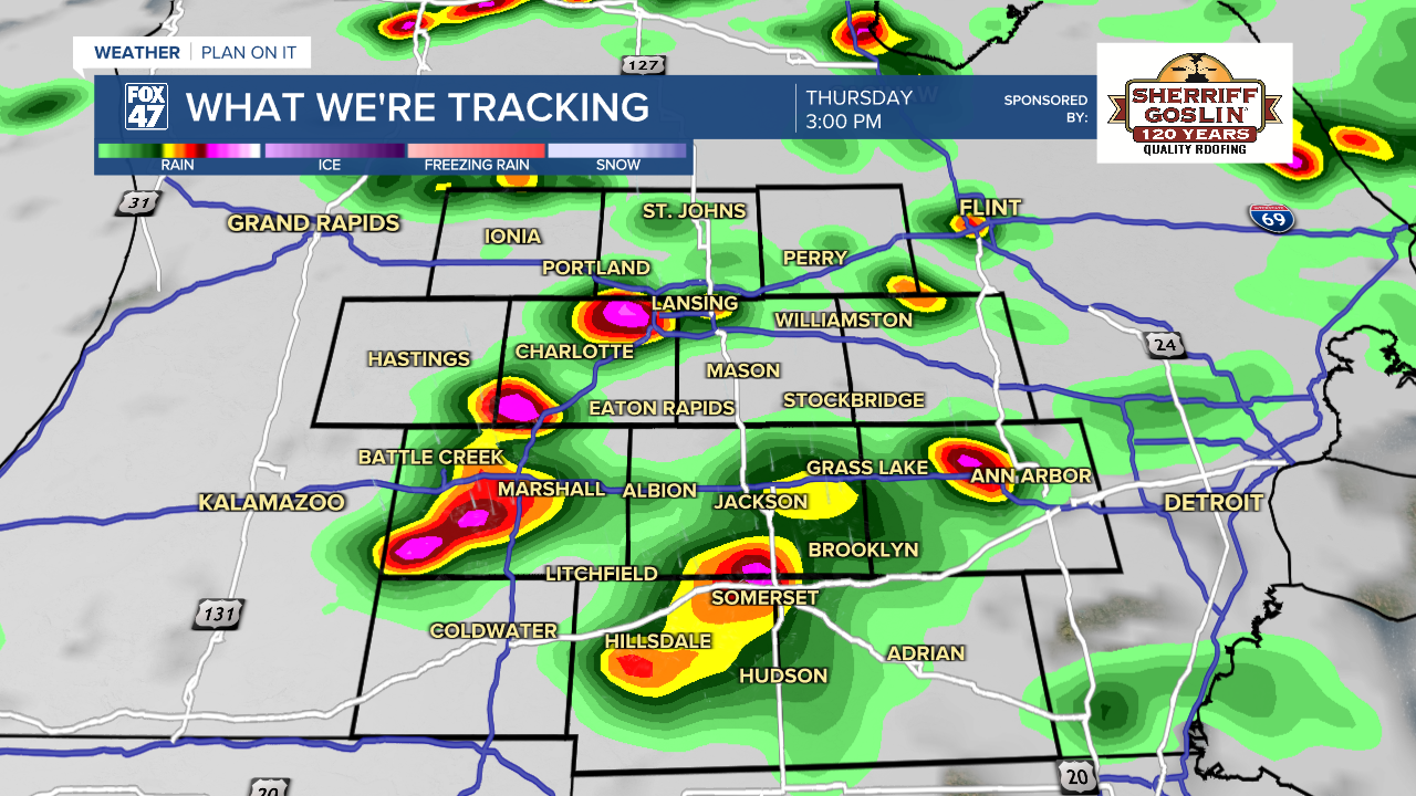
Partly cloudy skies on Thursday morning will give way to developing showers and thunderstorms shortly after midday. Much of the activity will be hit-or-miss variety, but everyone should be keeping a close eye on the sky, with the main window for storms falling between 1pm and 7pm.
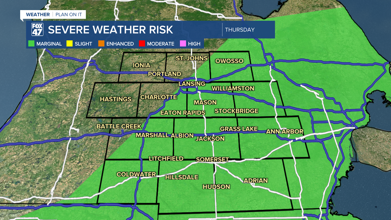
Isolated severe storms will be possible, bringing the threat of damaging winds. The risk for tornadoes and large hail is very low, but as last Friday showed us, we cannot completely rule either out. Stay weather aware, especially if you plan on being outdoors!
The cold front will slip south of us on Friday, but is expected to stall out over Indiana and Ohio. With it lingering close to the area, an isolated shower or thunderstorm will be possible. The chance will be greatest along and south of I-94, with a mix of sun and clouds expected otherwise. Highs Friday will scale back to the low 80s, with humidity levels scaling back as well.
Saturday and Sunday now look storm free, with nothing but mostly sunny skies expected for the weekend! Highs will hold in the low to mid 80s with just a touch of mugginess, making for a great couple of days to get out and soak up Summer!

The heat bites back during the first half of next week, with highs returning to the low 90s Monday through Wednesday. This comes as a ridge of high pressure over the western and central United States expands east into the Great Lakes. Humidity levels will tick upward as well, so we'll need to be ready for another stretch of sweltering weather!
Have a great weather picture or video to share? Send it our way and we may feature it on-air or online!

