
LANSING, Mich. — Skies will gradually clear overnight, and a cooler, less humid air mass will begin to filter in over the region. Lows will dip to the mid 60s by morning, with westerly winds at 6-12 mph.
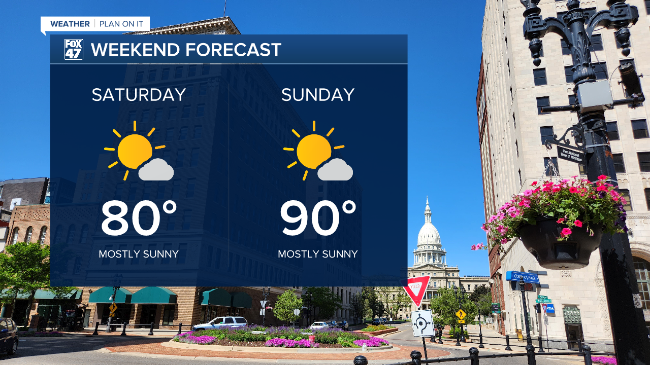
Saturday will mark a pleasant start to the weekend as a pocket of high pressure settles in behind Friday's cold front. We'll look for mostly sunny skies throughout the day, with highs turning comfortably warm in the low 80s. Best of all, humidity levels will see a significant drop, making for a much more comfortable day. We'll turn hotter and a bit more humid on Sunday though, with mostly sunny skies and highs returning to around 90 degrees.

GET YOUR FOX 47 FORECAST HERE
That returning warmth and humidity will lay the groundwork for a new disturbance to bring showers and thunderstorms back to our neighborhoods on Monday. Highs will top the mid 80s before making way for a pleasant stretch of weather for the first few days of July. Highs will run in the low 80s Tuesday through Independence Day, with consistently lower humidity. A small chance for thunderstorms creeps in on Thursday, but should clear out of the way in time for the 4th.

Want to learn more about the Weather? Visit the FOX47News Website.
Stay in touch with us anytime, anywhere.
Sign up for newsletters emailed to your inbox.
Select from these options: Breaking News, Severe Weather, School Closings, Daily Headlines and Daily Forecasts.
