LANSING, Mich. — Following a gorgeous weekend in our neighborhoods, showers and storms are expected to return this week. However, we are starting off with one last dry day to allow for any outdoor activities.
Surface high pressure sticks around for the first half of the day keeping us dry and clear outside. Throughout the day, clouds will increase with high temperatures possibly meeting 80 today with winds out of the southeast.

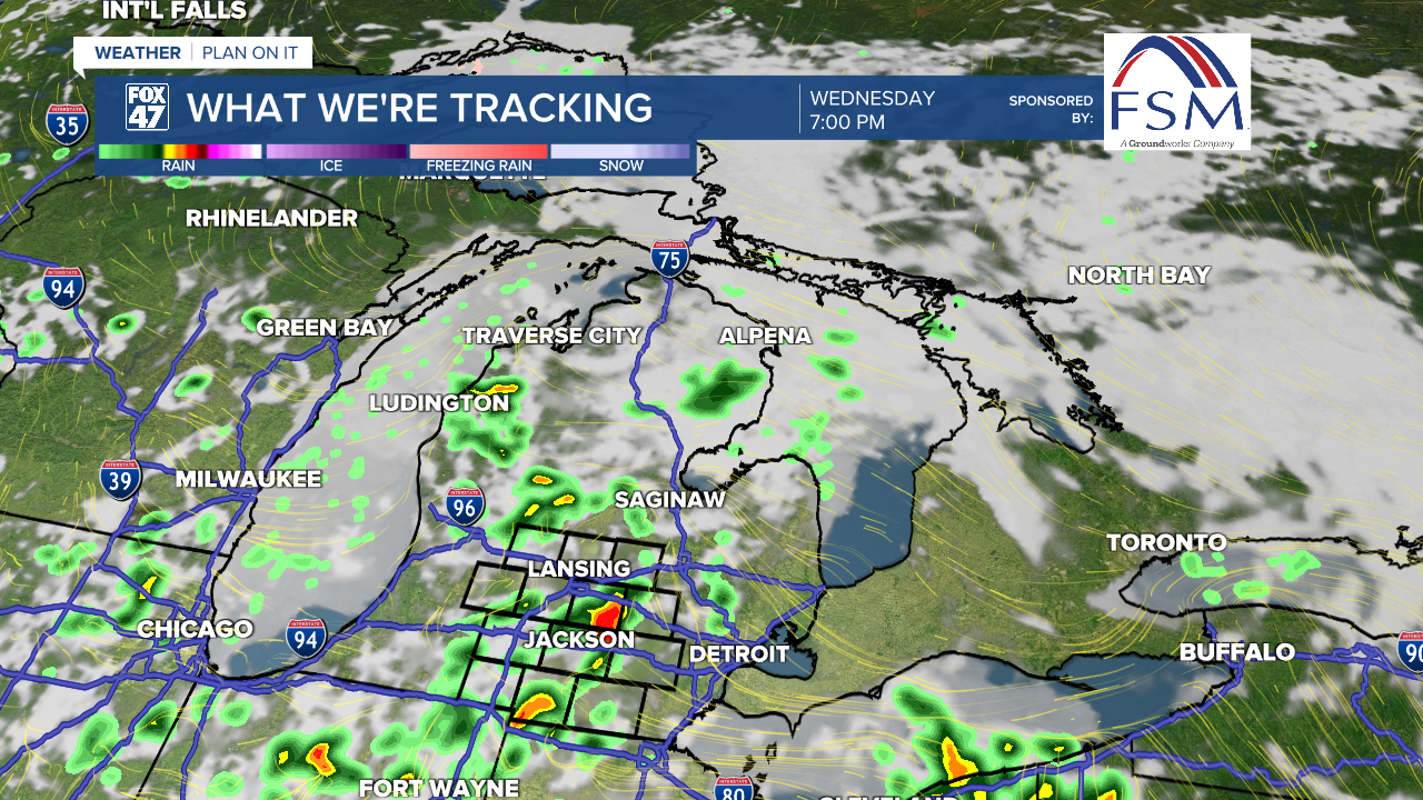
WATCH THE FULL FORECAST BELOW:
An area of low pressure will start to make a slow trek north throughout the first half of the week bringing warm, moist air to Mid-Michigan. This low will also drive shower and storm chances beginning in the overnight hours tonight and continuing through midweek.
We can expect scattered showers and storms to setup in the PM hours of Tuesday and Wednesday and the weakening low moves north. We are not expecting any severe impacts for Tuesday and Wednesday, but we could see some heavy rainfall at times if caught up in the scattered storms.

Moving into the back half of the week, the aforementioned low will have fizzled out with an upper level trough making its way towards the region from the west.
This upper level trough will bring a line of showers and storms to our neighborhoods late Thursday night into Friday morning. This rounds of showers and storms could bring some severe impacts including strong winds. Storm Prediction Center has issued a risk for severe weather on Thursday for portions of Hillsdale and Eaton counties. We will continue to watch this line very carefully.

The weekend looks dry as of now, with some showers still possible. Our temperature trend will hover in the mid 70's for Tuesday and Wednesday before warming back up into the 80's on Thursday. We will begin to see a drop as we enter the weekend with high temperatures ranging in the mid to upper 60's. Overnight lows stay well above the 30's hindering any possible frost chances this week.

Want to learn more about the Weather? Visit the FOX47News Website.
Stay in touch with us anytime, anywhere.
Sign up for newsletters emailed to your inbox.
Select from these options: Breaking News, Severe Weather, School Closings, Daily Headlines and Daily Forecasts.
