
LANSING, Mich. — Thursday's sunshine was a welcome break from Wednesday snow and bitterly cold conditions. That break comes to an end tonight though, as high pressure gives way to a new storm system sweeping in from the northern Plains.
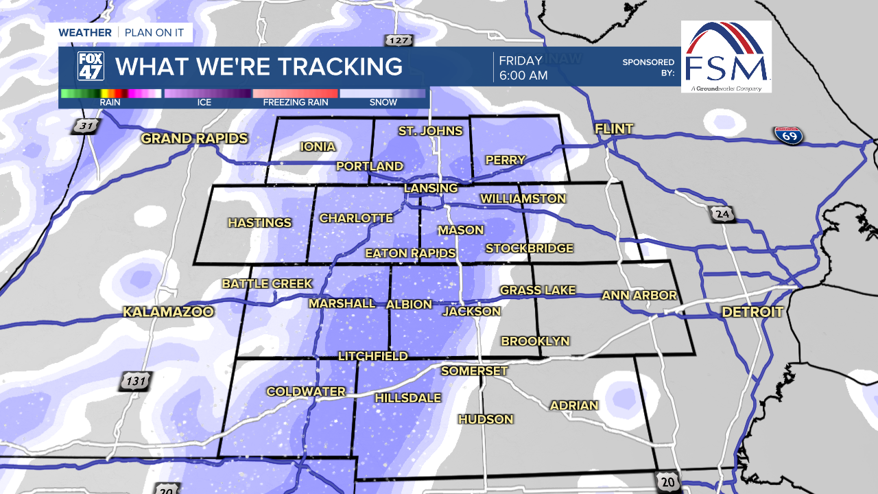
Clouds will steadily increase this evening, and could be accompanied by a few snow showers west of US-127 before midnight. More significant snow showers will begin to sweep in after 3:00 AM, and will become a bit steadier and more widespread by daybreak Friday. Temperatures will hover in the upper teens and low 20s for most of the night, with a brief period of lighter southerly winds at 5-10 mph.
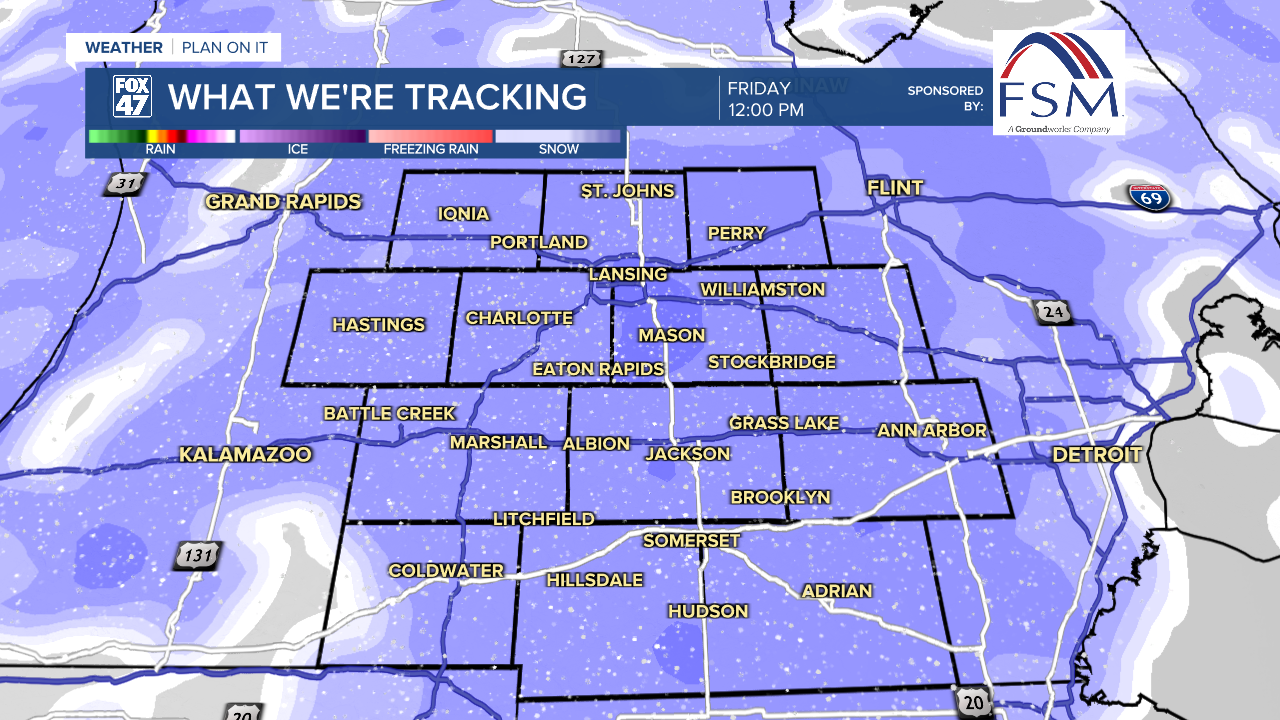
Friday will be a similar day to Wednesday, but with slightly milder temperatures. Periods of light to moderate snow will settle in during the morning commute and will continue through early afternoon. Expect slick and snow-covered roads, along with reduced visibility. Blowing snow may also be a problem at times, especially in open areas, so make sure to give yourself plenty of time to reach your destination.
GET YOUR FOX 47 FORECAST HERE
Snow showers will become more intermittent after 3:00 PM, but will continue well into Friday night. Highs Friday will climb back to the low 30s, with southerly winds increasing to 10-15 mph. This will keep wind chills in the 20s and teens. Scattered lake effect snow showers will continue on Saturday in the wake of Friday's disturbance.

Combining snowfall on Friday and Saturday, most of our neighborhoods are in line to pick up 2-3" of new snow. Areas from Jackson south and east will come in slightly lighter at 1-2", with highs amount of 3-4" or more possible in parts of Ionia and Barry Counties.

Another wave of Arctic air arrives Sunday, pulling highs back to the low 20s with the chance for snow showers. The worst of the cold arrives for a potentially snowy Martin Luther King Day on Monday. Highs will only reach the middle teens, before diving into the low single-digits Monday night. With breezy conditions expected, wind chills could plummet to anywhere between -10 to -20 going into Tuesday morning.

Want more FOX 47 News? Here's how you download our Roku app
You can also see the latest news from across our mid-Michigan neighborhoods by liking us on Facebook or following us on X.
