
LANSING, Mich. — An organized wave of light to moderate rain will continue through our neighborhoods overnight, with most of it moving east of our area after 2:00 AM. Spotty and patchy fog will continue into Thursday morning, along with the possibility for a few more light showers. Lows will settle in the mid 30s with light ESE winds at 3-6 mph.
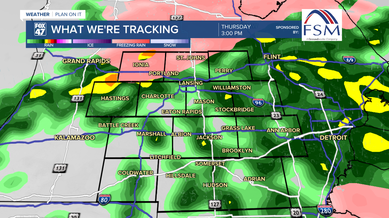
Hit-or-miss variety showers will continue on Thursday morning, along with any leftover fog. Be prepared for some wet spots on the morning drive and be prepared to slow down where visibility drops. Showers will become more widespread around lunchtime, with occasionally heavy downpours possible through the evening commute. Highs Thursday will take a bit of a dip thanks to the rain, holding in the low to mid 40s across our neighborhoods.
GET YOUR FOX 47 FORECAST HERE
We'll get a break from the rain for most of Friday, with a big jump in temperatures expected thanks to an arriving warm front. Partly to mostly cloudy skies will be accompanied by highs in the low 60s Friday afternoon, but things may be taking a more active turn late Friday evening.

Scattered showers and thunderstorms are expected to sweep in ahead of an approaching cold front, mainly after 9:00 PM on Friday based on current timing. Isolated severe storms will be possible as well, mainly west of US-127, with that threat lingering with any storms into Saturday morning. The main concern is the potential for damaging winds, but we will continue to monitor the forecast closely.

Scattered showers and thunderstorms will continue until about midday Saturday, giving way to mostly cloudy skies in the afternoon. Highs will reach the low to mid 60s once again before temperatures fall behind the cold front later in the day. This will pave the way for sunnier skies on Sunday, and while cooler, highs will still be quite pleasant in the upper 50s.

Don't forget to set your clocks forward one hour before heading to bed on Saturday night! Daylight Saving Time begins at 2:00 AM Sunday, and while we do lose an hour, we gain later sunsets past 7:30 PM. One more step on the road to Spring!
Want more FOX 47 News? Here's how you download our Roku app
You can also see the latest news from across our mid-Michigan neighborhoods by liking us on Facebook or following us on X.
