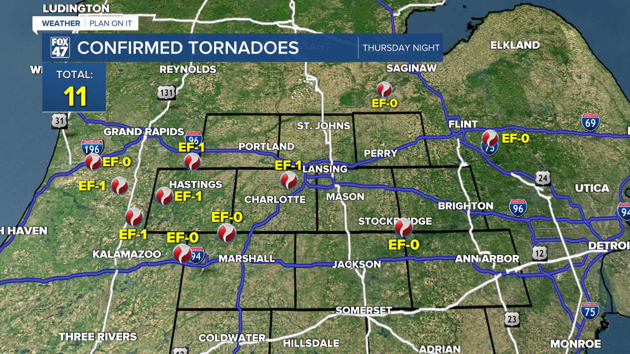
LANSING, Mich. — Following two more confirmed tornadoes from yesterday, southern Michigan is up to 11 confirmed tornadoes from May 15-16th. We are still seeing some leftover debris in the downtown Lansing area so make sure you are staying safe when heading out on those roads today.
WATCH THE FULL FORECAST BELOW
High temperatures will dip into the upper 50's today as we were able to see air temperatures dip into the 30's this morning. These below average temperatures will continue throughout the rest of the work week so make sure you have a jacket ready.

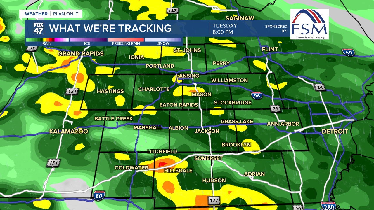
Also make sure to bring the umbrella today as rain showers return to our neighborhoods. An area of low pressure is tracking east driving these showers into our neighborhoods. The track of the low is just south of the state of Michigan. This means that we will be missing out from the warm air in the south as showers roll in this afternoon.
With low instability and weak wind shear, we are not expecting any severe weather as these showers roll through. We could here some rumbles of thunder as well as see some heavier rainfall rates. However, the risk for flooding is low. We could see rainfall totals up to .75" today.
These showers will continue into the evening and stay in place on Wednesday as that area of low pressure continues its track. Once that low moves far enough east, we will be drying up just in time for the end of the work week.
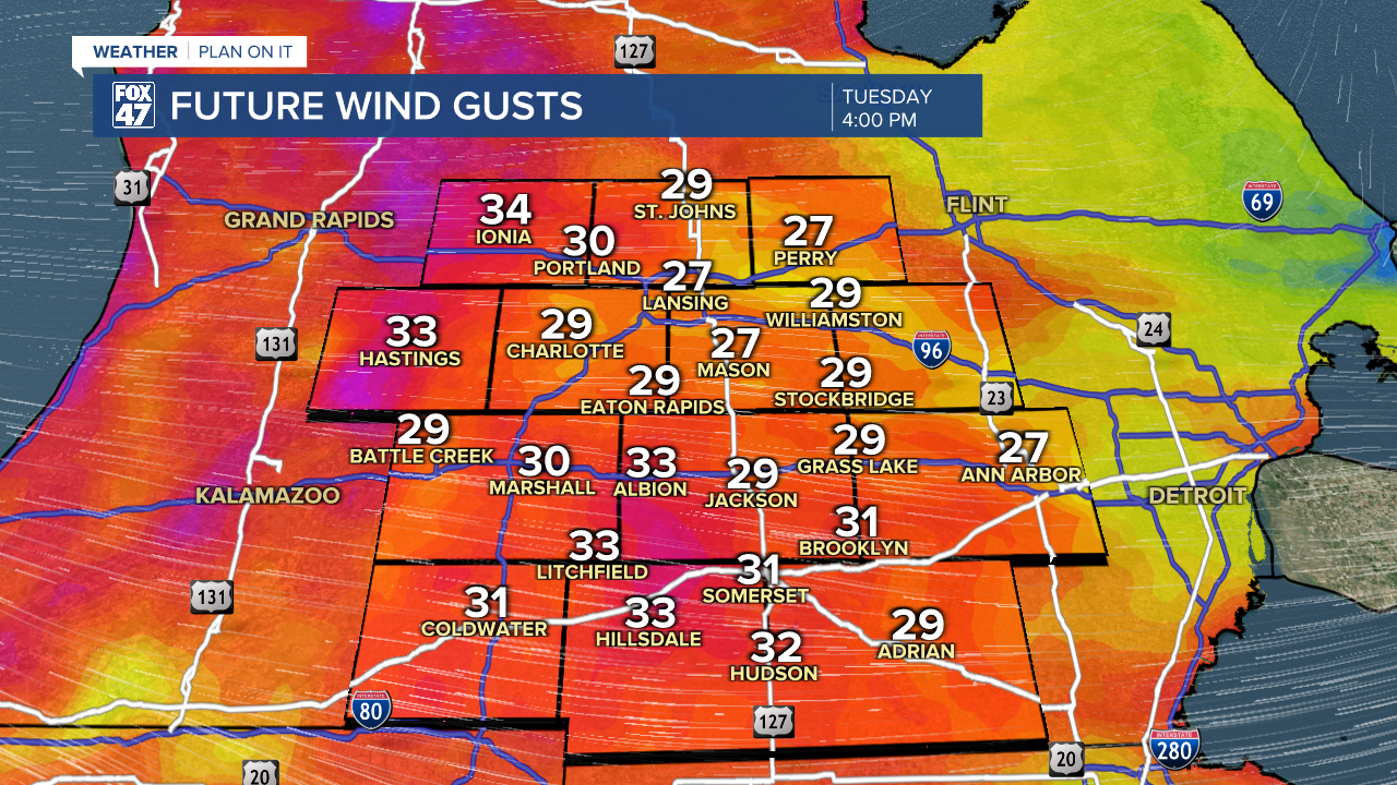
Winds will also be elevated today out of the east. We could see gusts get up to 40 mph this afternoon. Make sure to bring in any light/loose objects from outside and bring them in today.
Shower chances remain through Thursday as we are looking to dry up for the weekend as we begin to climb in our temperatures again. We will be back in the 60's this weekend. However, this is still a bit cooler than where we should be for this time of year.

Want to learn more about the Weather? Visit the FOX47News Website.
Stay in touch with us anytime, anywhere.
Sign up for newsletters emailed to your inbox.
Select from these options: Breaking News, Severe Weather, School Closings, Daily Headlines and Daily Forecasts.
