
LANSING, Mich. — We continue to monitor a wave of showers and thunderstorms moving through our neighborhoods this evening. While a small chance for severe storms remains in place for areas south of Jackson, that chance will dwindle quickly as the rain drags temperatures into the 40s. At the very least, expect wet travel conditions through the first half of this evening.
Showers will taper off after 9:00 PM as a cold front slips south of the area. This will usher in a sharply cooler air mass as winds pivot toward the north at 10-20 mph. Expect temperatures in the mid 20s by daybreak, likely with wind chills in the upper teens!

Friday will be a whole lot like this past Monday, just with a bit more sunshine. Clouds will decrease throughout the day, but our temperatures will not be climbing much. Highs will level off in the upper 30s in the afternoon, with a NNE wind at 6-12 mph adding a little extra bite. Bundle up as you kick off your weekend!
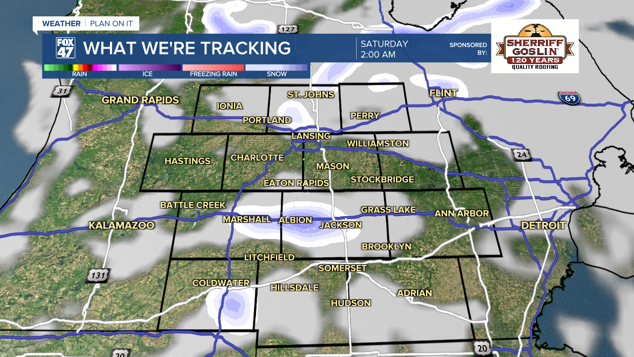
Following a few possible snow showers late Friday night as lows again head for the 20s, high pressure will take the reins on Saturday. Partly to mostly sunny skies are expected, but we'll struggle to warm up much. Highs will do a little better, but are only expected to make the low 40s.
GET YOUR FOX 47 FORECAST
Sunday gets us back to more of a Spring feeling, with another day of sunshine and highs returning to the middle and upper 50s. Warming will continue for much of next week, with a stretch of highs in the 60s expected Monday through Thursday. Showers and storms will be possible as well, so we'll need to be prepared for a more unsettled weather pattern.

Have a great weather picture or video to share? Send it our way and we may feature it on-air or online!

