
LANSING, Mich. — Occasional light showers will continue to track through our neighborhoods for the first half of this evening thanks to a warm front sweeping into the region. Temperatures will see a brief jump into the low and mid 60s, setting the stage for additional showers and a few thunderstorms between 9:00 PM and midnight. Severe weather is not expected, but some storms could produce gusty winds.

Storms will wrap up after midnight, with temperatures dipping toward the middle and upper 40s by daybreak. Breezy conditions will persist outside of any storms, with southerly winds gradually pivoting toward the northwest at 10-20 mph.
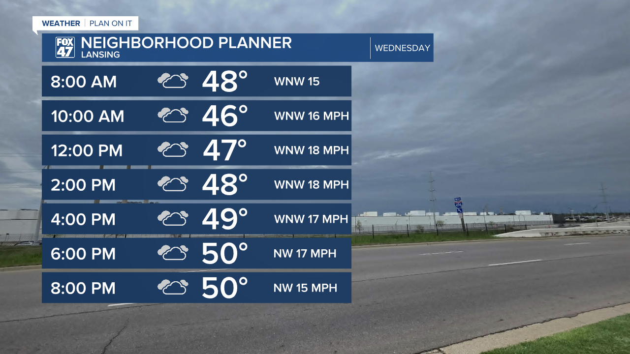
In the wake of a cold front, temperatures will take a sharp dip on Wednesday. This will be reinforced aloft but a narrow but sharp trough in the jet stream, holding temperatures to just the low 50s during the day. Cloudy skies are expected to accompany the chillier air, with the small chance for a stray shower. WNW winds at 15-20 mph will sharpen the chillier bite just a bit, with gusts up to 30 mph possible at times.
GET YOUR FOX 47 FORECAST HERE
Wednesday's chill will be the last hurdle to clear before we head into a gradual, but significant warmup for the second half of the week. Mostly sunny skies will take over on Thursday, helping to warm us back into the low 60s. That will still keep us around five degrees below average, but it's a start. We gain a little more steam on Friday as highs head for the upper 60s, but it comes with cloudier skies and the chance for showers as a new disturbance tracks into the Great Lakes.

This weekend is when we really hit our stride! A ridge of high pressure will began to expand over the eastern United States, allowing a surge of warmth to spill into the Great Lakes. Highs will jump to the upper 70s on Saturday, with a mix of sun and clouds and a small chance for an isolated thunderstorm. Sunday through Tuesday bring a greater chance for hit-or-miss storms, but highs will continue to run in the upper 70s and even the low 80s!
Have a great weather picture or video to share? Send it our way and we may feature it on-air or online!

