
LANSING, Mich. — The few high clouds in our skies will depart this evening, leaving behind clear skies overnight. Lows will be cool, but not as chilly as Wednesday night, falling to the low 50s. Light southeasterly winds will remain in place at 4-8 mph.

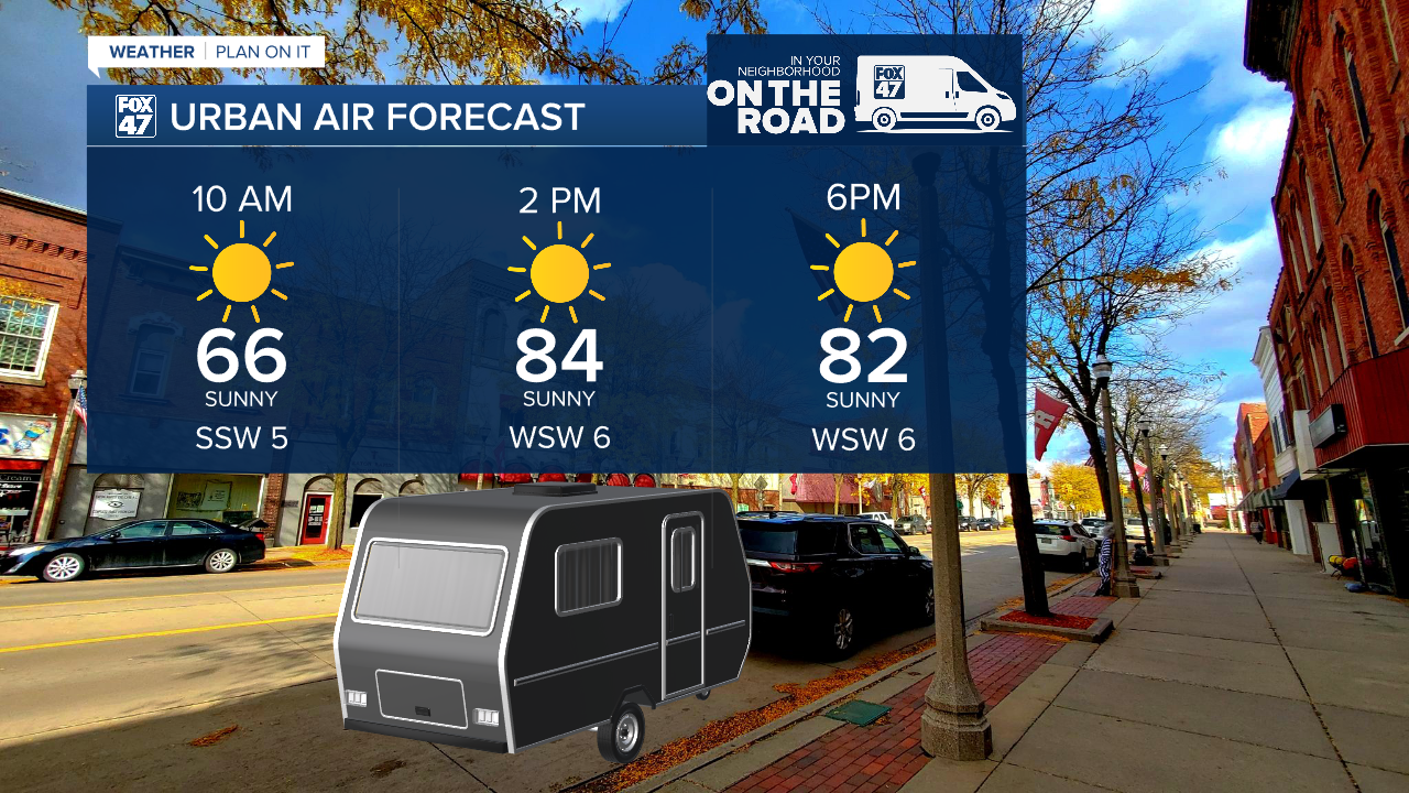
We click right back into Summer on Friday and through the upcoming weekend. As our winds pivot toward the south, we'll see another surge in temperatures, while a high pressure ridge keeps our weather dry. Friday through Sunday will bring mostly sunny skies, with highs soaring to the middle and possibly upper 80s! Among other outdoor activities, this weather bodes well, if not a bit hot, for Urban Air getting underway in Eaton Rapids.
Temperatures on Saturday in particular stand a good chance of reaching record-breaking levels. The current record high for Saturday, October 4 is 86° set in 1900, and again in 1951. As it stands, we are forecasting a high of 87° on Saturday, meaning we could be in line to break a 74 year-old record!

GET YOUR FOX 47 FORECAST HERE
The southerly winds eventually help to bring a little moisture back to the region early next week, all while a cold front approaches from the northwest. We'll look for a mix of sun and clouds on Monday with the slight chance for a few isolated showers. Additional showers are possible on Tuesday and they may be a bit more widespread, but this rain is not expected to lead to significant drought improvement overall.

Want more FOX 47 News? Here's how you download our Roku app
You can also see the latest news from across our mid-Michigan neighborhoods by liking us on Facebook or following us on X.
