
LANSING, Mich. — A wetter weather pattern settles in for the holiday weekend, with the first round of showers arriving Friday evening. Rain chances begin increasing after about 10 p.m. across our southern neighborhoods before spreading north overnight into Saturday morning as a disturbance moves across Mid-Michigan.
Saturday looks to be the soggiest day of the weekend, with periods of showers and isolated thunderstorms expected from early morning through to early evening hours. Some of the steadiest rain and storm activity may develop between about 3 a.m. and 10 a.m., so anyone with outdoor plans should be prepared for wet conditions at times throughout the day.
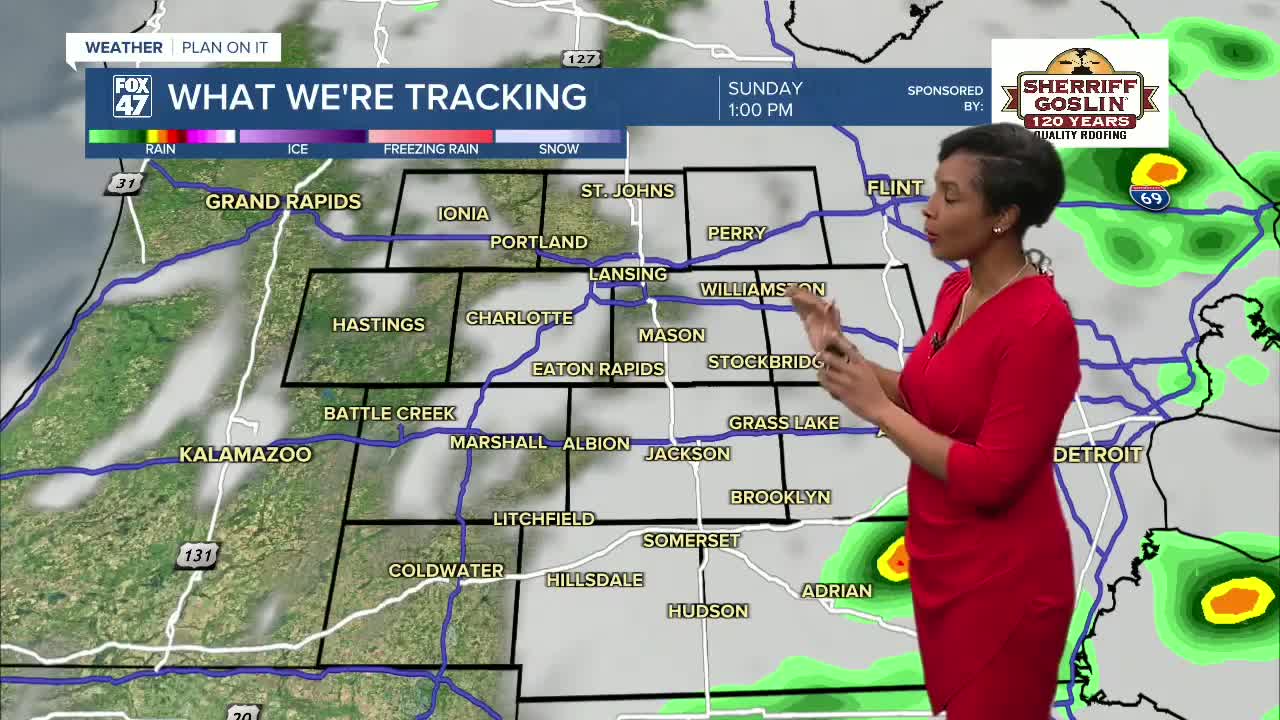
More showers and thunderstorms are possible Sunday as another system moves through the region, although conditions should begin improving later Sunday night.
Memorial Day Trending Much Better
Memorial Day is shaping up to be the peak day of the holiday weekend. While an isolated shower can’t be ruled out, much of Monday looks mostly sunny, warmer, and more comfortable with highs reaching around 81 degrees.
Dry and warm weather continues through much of next week, with temperatures climbing to the lower to middle 80s Tuesday through Thursday.
7-Day Forecast Snapshot
Saturday: Showers and thunderstorms likely, high 60°
Sunday: Additional storm chances, high 74°
Memorial Day Monday: Mostly sunny, high 81°
Tuesday: Mostly sunny and warm, high 85°
Wednesday: Partly sunny, slight shower chance, high 84°
Thursday: Mostly sunny, high 79°
Friday: Mostly Sunny, high 79°
Have a great weather picture or video to share? Send it our way and we may feature it on-air or online!

