
LANSING, Mich. — Today gives us a break from the rain and snow, with mostly cloudy skies and light & variable winds expected during the day. The break will be short-lived though, as a new disturbance will send more snow into our neighborhoods tonight. Snow showers will break out after 10:00 PM, eventually changing to a wintry mix around sunrise. Overnight snow accumulation around 1" is possible.
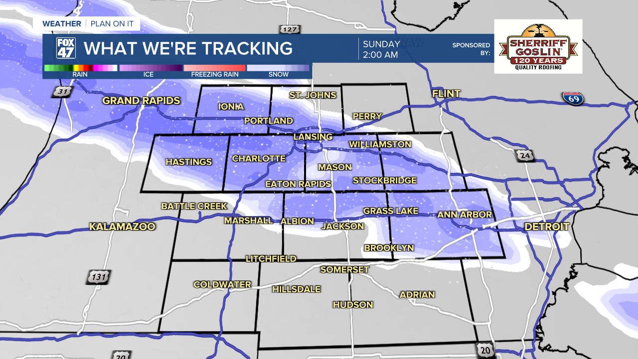
The wintry mix briefly lingers on Sunday morning before tapering off by midday. The active weather won't be done yet, though. A warm front sweeping through the region on Sunday afternoon will lead to a brief surge of warmth, sending highs back to around 60 degrees. That warmth will destabilize the atmosphere, setting the stage for a round of showers and thunderstorms later in the evening.

Hit-or-miss showers and storms will be possible between 6:00 PM and 11:00 PM, followed by a more powerful line of organized thunderstorms around midnight. Scattered severe storms are possible, with the chance for damaging winds, large hail, and isolated tornadoes. Make sure to stay weather aware Sunday evening, and be prepared to head for shelter if warnings are issued. Make sure you have a way to receive warnings overnight, too!

Following Sunday night's storms, temperatures will take a dive again on Monday behind a passing cold front. Temperatures will fall out of the 40s, with scattered snow showers breaking out for much of the day. Some leftover snow showers will linger into the morning on a cold St. Patrick's Day, with highs only set to reach the mid 20s.

A trend back toward the 40s and 50s is expected during the second half of next week.
Want more FOX 47 News? Here's how you download our Roku app
You can also see the latest news from across our mid-Michigan neighborhoods by liking us on Facebook or following us on X.
