
LANSING, Mich. — Clouds will continue to increase this evening as a new storm system approaches from the northern Plains. A stalled warm front hovering over our neighborhoods will keep our temperatures pretty well in check, with lows only briefly dipping to the upper 30s to around 40 overnight.
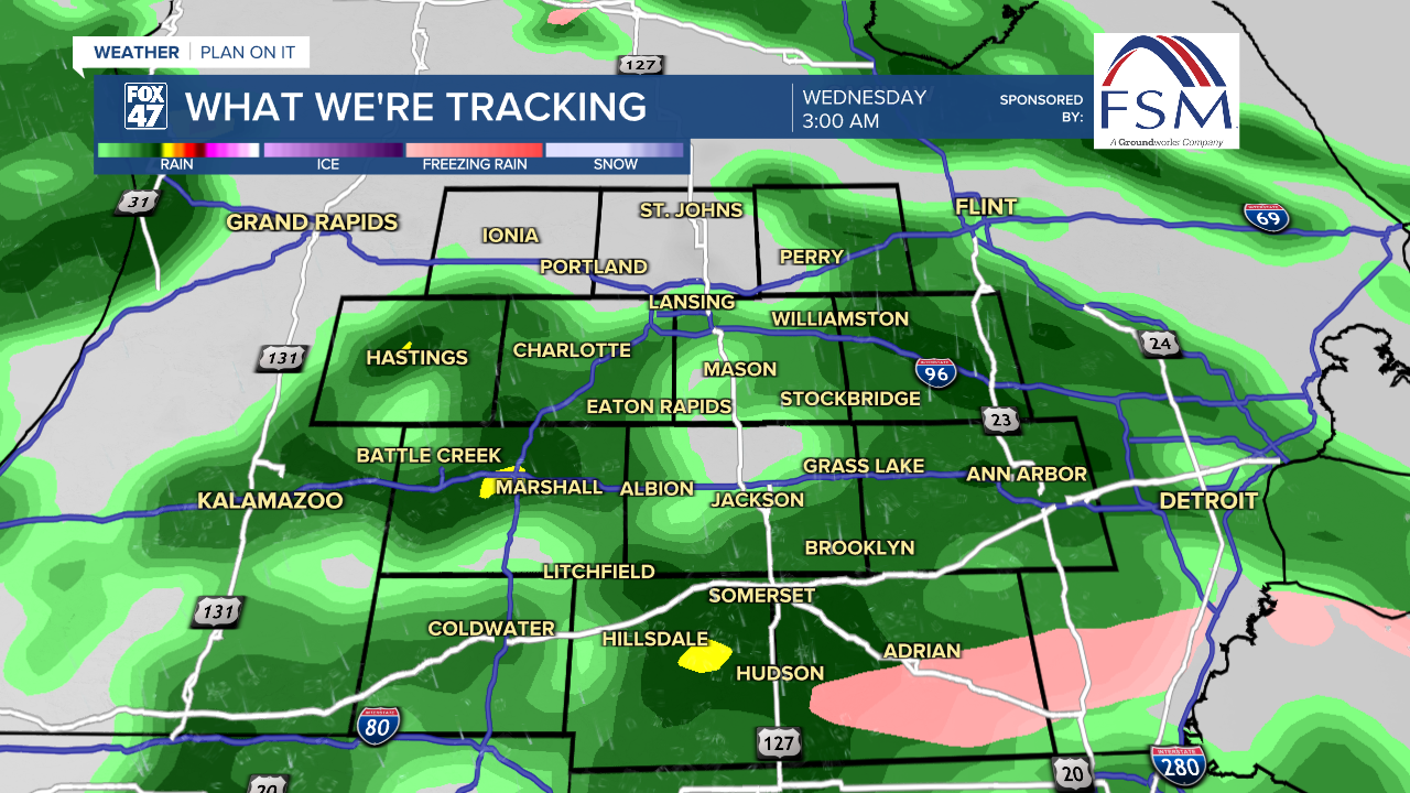
Showers will break out around midnight, developing into periods of steadier and heavier rain overnight. A few rumbles of thunder will also be possible as rain continues into the Wednesday morning commute.

Rain will wind down by 10:00 AM Wednesday in most neighborhoods, paving the way for returning afternoon sunshine a low pressure eventually tracks east of the state. Before that happens, a brief warm frontal passage is expected, which will push temperatures to around 60 degrees on Wednesday afternoon. Winds will increase as well, shifting to the southwest at 10-20 mph.

Thursday starts out dry with some sunshine in the morning before clouds increase ahead of a new disturbance. Temperatures remain mild for one more day in the low 50s, with showers arriving around the evening commute. The wet weather will linger into Friday morning, as temperatures continue to cool toward highs in the mid 40s in the afternoon.
GET YOUR FOX 47 FORECAST HERE
It's back to reality over the weekend. Friday disturbance will usher in a cold front, which will drag highs back to the low and mid 30s on Saturday and Sunday. The weekend starts dry, but cloudy on Saturday, followed by the chance for snow showers on Sunday.

Want more FOX 47 News? Here's how you download our Roku app
You can also see the latest news from across our mid-Michigan neighborhoods by liking us on Facebook or following us on X.
