
LANSING, Mich. — After a few early morning showers and thunderstorms, Mid-Michigan is heading into a much brighter and warmer stretch of weather. While rain chances will make a return early next week, many neighborhoods will enjoy sunshine and steadily rising temperatures through Sunday and much of Monday.
Morning Rain Moves Out, Sunshine Returns
A few showers and thunderstorms may linger across portions of Mid-Michigan early Saturday, especially in communities south and east of Lansing. However, conditions improve quickly through the morning.
By lunchtime, sunshine returns for most neighborhoods, and the weather remains quiet through the afternoon and evening. Skies continue to clear overnight, setting the stage for a beautiful Sunday.
High temperatures Saturday will reach the lower 80s, with many communities topping out between 82 and 83 degrees. Humidity will remain noticeable, with dew points climbing into the 60s and even low 70s in some locations.
Dry and Warm Sunday Into Monday
High pressure takes control Sunday, bringing mostly sunny skies and dry weather.
Sunday's high reaches 83 degrees, and the warming trend continues into Monday with highs climbing to around 85 degrees.
If you're planning outdoor activities, Sunday and much of Monday will offer some of the best weather of the week before the next round of storms arrives.
Storm Chances Return Monday Night
Clouds and moisture begin increasing Monday evening as the next weather system approaches the Great Lakes.
Showers and thunderstorms become more likely Monday night, with a wetter pattern setting up for Tuesday and Wednesday.
Tuesday looks particularly active, with periods of rain and thunderstorms possible throughout the day. Rain chances continue Tuesday night and linger into Wednesday, when additional showers and thunderstorms remain in the forecast.
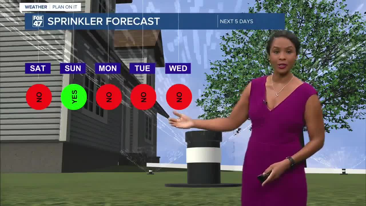
The rainfall will be welcome news for lawns and gardens after a prolonged stretch of dry weather. Many areas have begun showing signs of stress, with grass turning yellow or becoming dry and crunchy.
Turning Hot and Humid
While rain chances increase, so do temperatures.
Forecast highs across Mid-Michigan:
- Saturday: 82°
- Sunday: 83°
- Monday: 85°
- Tuesday: 87°
- Wednesday: 89°
- Thursday: 92°
- Friday: 90°
By the middle and end of the week, temperatures are expected to surge into the upper 80s and lower 90s. Combined with increasing humidity, it will feel even hotter at times.
Thursday currently appears to be the hottest day of the forecast, with highs approaching 92 degrees across parts of Mid-Michigan.
Looking Ahead
The forecast can be divided into two parts: a pleasant and mainly dry weekend, followed by a hot, humid, and occasionally stormy stretch next week.
Enjoy the sunshine Sunday and Monday while it lasts. After that, Mid-Michigan transitions into a summer-like pattern featuring multiple chances for showers and thunderstorms and the first widespread 90-degree temperatures many neighborhoods have seen this season. ☀️⛈️🌡️
Have a great weather picture or video to share? Send it our way and we may feature it on-air or online!

