LANSING, Mich. — The upper level low continues its slow track north today giving our neighborhoods similar weather conditions to yesterday. Weak winds out of the south bring warm, moist air to our neighborhoods allowing for muggy conditions. High temperatures will remain in the mid to lower 70's with isolated to scattered t-storms possible this afternoon.

WATCH THE FULL FORECAST BELOW
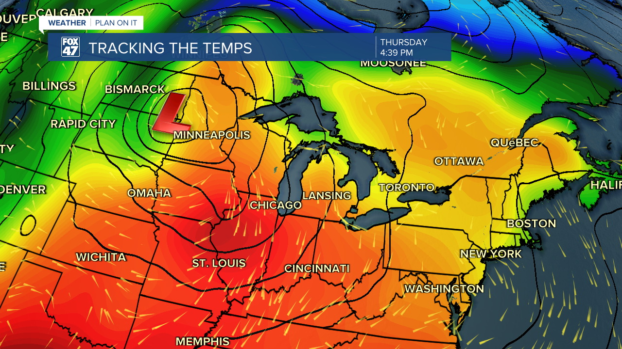
We turn our gears to Thursday as we will be dealing with a new setup with possible severe weather. Storm Prediction Center has updated the Severe Weather Outlook for Thursday evening to include all of Eaton County and portions of Clinton, Ingham, Jackson, and Hillsdale counties in a level 3, enhanced risk of severe weather.

An upper level trough will advance easterly with a deepening surface low throughout the day Thursday. This will drive an occluded front through our neighborhoods late Thursday evening. Severe storms are possible ahead of this occluded front.
Timing for the main line of storms ahead of the frontal passage is from 8 PM to 2 AM Thursday night. All severe impacts are on the table from damaging winds, hail, and a few tornadoes. There is also a chance that we could see a thunderstorm develop in the earlier evening hours as well and we will be watching it very closely. Make sure to have a plan for if and when severe weather strikes in your neighborhood.


Following the frontal passage, we will get to see some sunshine in our neighborhoods through the daytime hours of Friday with high temps in the lower 80's. We could see a non severe t-storm develop Friday evening before some tame shower chances into Saturday. Dew points will weaken this weekend allowing for comfortable conditions with high temperatures in the mid to lower 60's.
WATCH BELOW TO LEARN MORE ABOUT HOW TORNADOES & HAIL FORM
Want to learn more about the Weather? Visit the FOX47News Website.
Stay in touch with us anytime, anywhere.
Sign up for newsletters emailed to your inbox.
Select from these options: Breaking News, Severe Weather, School Closings, Daily Headlines and Daily Forecasts.
