
LANSING, Mich. — A trough of low pressure has dug back in across the Great Lakes, taking us back to temperatures more typical of early April as opposed to early May. We'll stay out of frost territory tonight, owing to persistent cloud cover and even a few showers in neighborhoods south of Lansing. Lows will wind up in the upper 30s to around 40, with some clearing expected closer to sunrise.

Sunny skies Wednesday morning will give way to partly to mostly cloudy skies as the day goes on. No showers are expected, but it will remain unseasonably cool. Highs will remain more than 10 degrees below average in the mid 50s. A NNW breeze at 6-12 mph will add just a little more chill, too.

Wednesday night brings another risk of frost as skies clear out. Temperatures will take a dive into the mid 30s, so make sure to cover up any sensitive outdoor plants or bring them in for the night. Don't forget to round up your pets, too!
GET YOUR FOX 47 FORECAST
Thursday continues on a similar trend, but with the added chance for a few spotty showers in the afternoon. Highs will stay in the mid 50s, then inch up to the upper 50s on Friday, with a greater chance for showers ahead of a warm front.
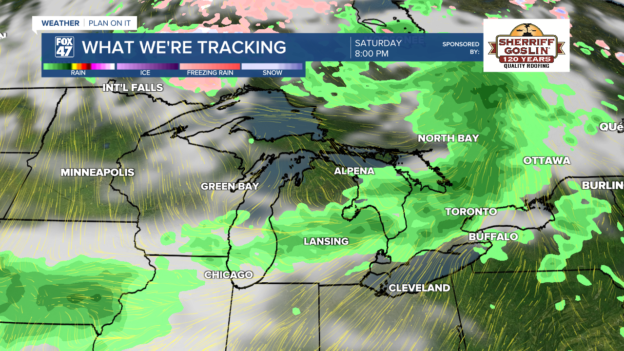
A brief return to typical May warmth is expected on Saturday with highs jumping to the mid 60s. Showers and a few thunderstorms are possible later in the evening ahead of a new cold front. This will bring highs back to the low 60s for Mother's Day on Sunday, with the chance for a few leftover showers in the morning.

Have a great weather picture or video to share? Send it our way and we may feature it on-air or online!

