
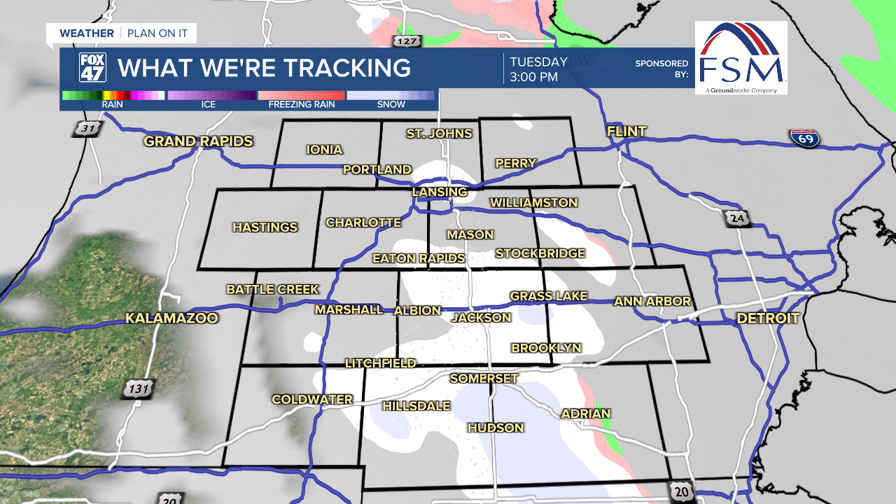
LANSING, Mich. — More snow showers are expected overnight as a band of lake effect snow along the Lake Michigan shoreline is pushed inland by a shift in the winds. Be prepared for more slick or icy roads on Tuesday morning, with lows tonight falling into the mid 20s.

Unseasonably cold air and a few snow showers will continue for Veterans Day on Tuesday. Whether you have the day off, or it's business as usual for you, make sure to dress warmly and stay alert on the roads. Some breaks of sun are possible, but most of the day will feature overcast skies. Highs will hover in the mid 30s, still close to 15 degrees below normal for mid-November.
Our weather pattern begins to stabilize as we head into the second half of the week. Wednesday will start with mostly cloudy skies, giving way to gradual clearing during the afternoon. Temperatures will begin an upward trend, but midweek highs will still level off on the low 40s.
GET YOUR FOX 47 FORECAST HERE
Thursday and Friday emerge as the nicest days of the week. High pressure settling over the region will bring partly to mostly sunny skies back to the region, and we'll get a bigger bump in temperatures along with it. Highs will return to the low 50s, and will remain at those levels into the weekend. A new disturbance moving through the Great Lakes on Saturday and Sunday will bring the chance for a few plain rain showers.

Want more FOX 47 News? Here's how you download our Roku app
You can also see the latest news from across our mid-Michigan neighborhoods by liking us on Facebook or following us on X.
