
LANSING, Mich. — Partly to mostly cloudy skies will continue this evening into tonight, along with the potential for a few, isolated thunderstorms. Lows will be similar to Tuesday night, falling to the upper 60s, as humidity levels remain high. We'll at least have a little bit of a breeze to work with, as southeast winds hold at 4-8 mph.
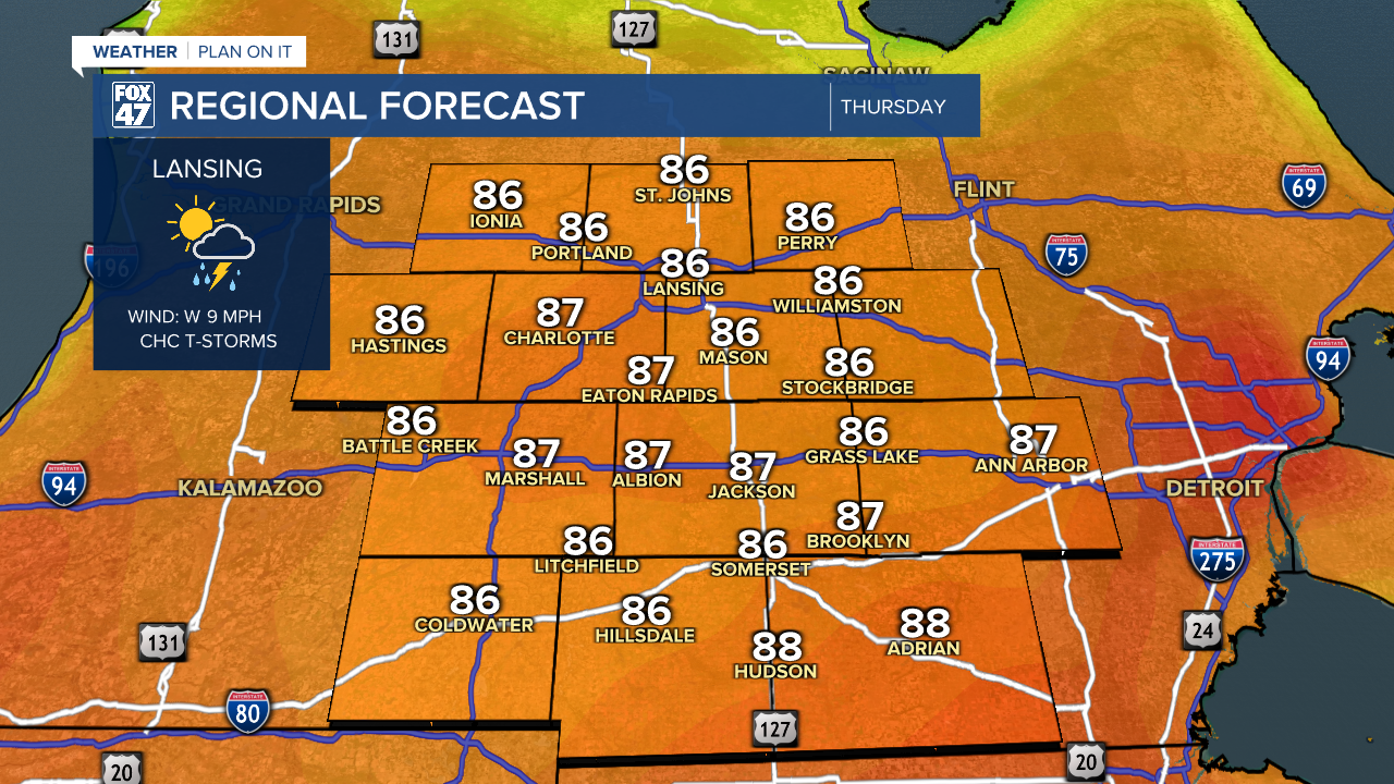
A stalled frontal boundary over northern Indiana and Ohio will track back to the north as a warm front tomorrow, bringing some higher temperatures back in to go with the elevated humidity. We'll stay below the heat we saw last weekend, but highs in the mid 80s will feel more like the low to mid 90s in the afternoon.

The added warmth and presence of the front will also fuel another round of scattered thunderstorms in the afternoon and evening. Isolated severe storms will remain a possibility, and could produce damaging winds and torrential downpours. Keep an eye on the sky if you'll be getting out to beat the heat! Friday's weather will be repeat of Thursday.
GET YOUR FOX 47 FORECAST HERE
Our weather trends drier for the weekend, but also gives us one more shot of heat. We'll see a mix of sun and clouds on Saturday, with just a small chance for an isolated thunderstorm. Highs will top the mid 80s, then head for around 90 degrees on Sunday under partly cloudy skies.

Want to learn more about the Weather? Visit the FOX47News Website.
Stay in touch with us anytime, anywhere.
Sign up for newsletters emailed to your inbox.
Select from these options: Breaking News, Severe Weather, School Closings, Daily Headlines and Daily Forecasts.
