


LANSING, Mich. — Partly to mostly cloudy skies will continue tonight as we remain stuck between a stalled frontal boundary over the Upper Peninsula, and a storm system drifting north out of the Tennessee Valley. Despite the variable cloud cover, we'll remain dry for now with temperatures settling into the upper 50s by daybreak.
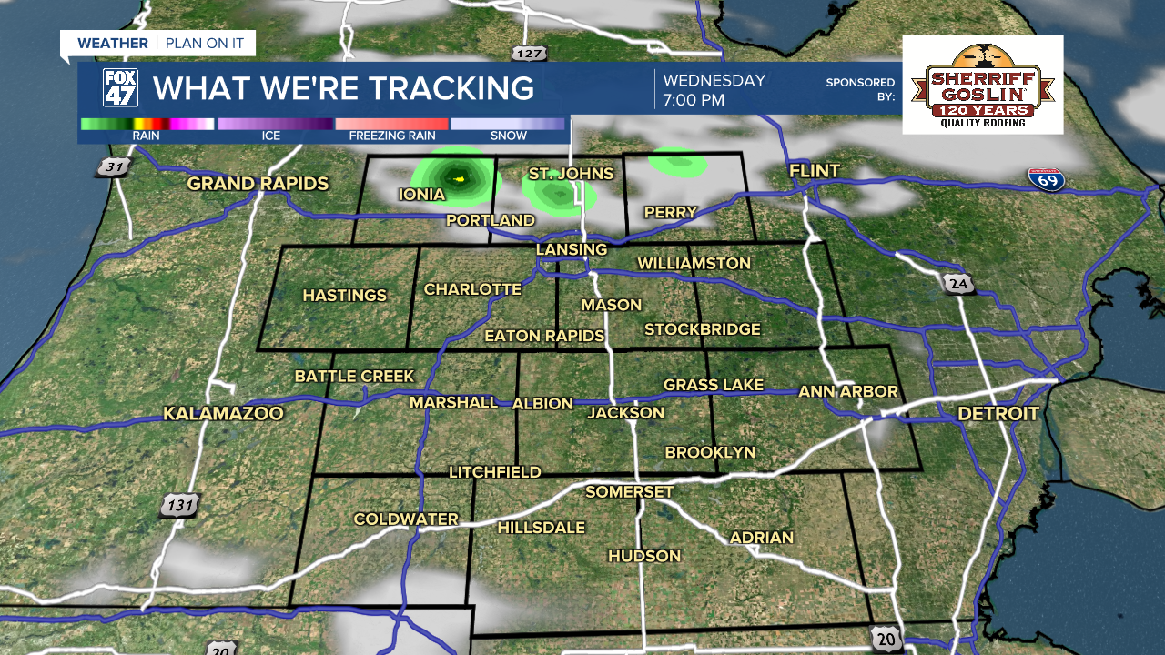
The frontal boundary to the north will begin to sink south across the state on Tuesday. Before it arrives, we'll enjoy a mix of sun and clouds with another day of summerlike highs in the low 80s. The front could stir up a few isolated showers or thunderstorms in the afternoon, but most of us will stay dry.

From there, our weather goes on cruise control into the early part of next week! A ridge of high pressure will expand across the central United States, with the Great Lakes winding up on the northeast edge. This, combined with our proximity to a trough of low pressure over eastern Canada, will put us in the perfect position to benefit from the quiet weather under the ridge while avoiding the more extreme heat that will set up over the central United States.
GET YOUR FOX 47 FORECAST HERE
Bottom line, we're looking at a stretch of mostly sunny skies Thursday through Tuesday, with highs consistently hovering in the 70s and lows in the upper 40s to low 50s. No A/C needed and plenty of opportunities to get outside!

Have a great weather picture or video to share? Send it our way and we may feature it on-air or online!

