LANSING, Mich. — Following an eventful end to the week last week, Mid-Michigan will continue with tame weather conditions to end our weekend. High temperatures today will be around the lower 60's. This is well below average for this time of year.
Cloudy skies will prevail with a chance to see some breaking and the sun peek through. Clouds will stick around as we enter Monday as well before we get to our next chance for showers in the midweek.

WATCH THE FULL FORECAST BELOW
We are on the back end of surface low pressure that brought us thunderstorms overnight Saturday into Sunday. This coupled with the influence of surface high pressure to the north of Michigan is keeping us a bit cooler than average. This trend will be continuing through the incoming work week.
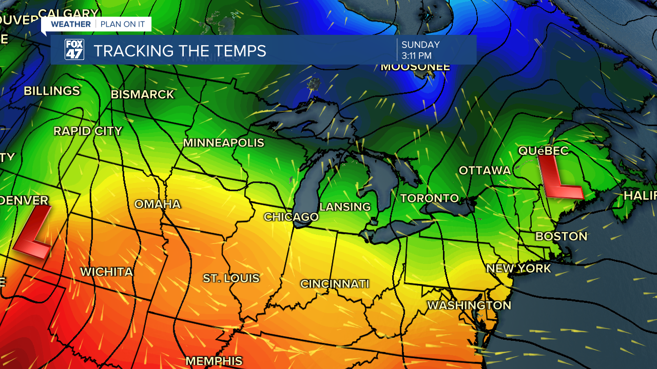
Our next chance for showers arrives midweek as an area of low pressure off to the south (shown above) tracks northeast. We are expecting to see this area of low pressure move right through our neighborhoods bringing us chances for showers from midweek to the end of this incoming week. We could see showers begin as early as late Tuesday evening.


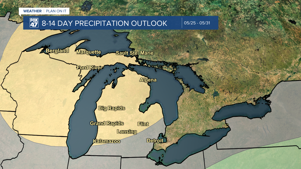
For those wanting drier conditions, the Climate Prediction Center's 8 to 14 Day Precipitation Outlook is favoring drier conditions for the last full week of May.
Want to learn more about the Weather? Visit the FOX47News Website.
Stay in touch with us anytime, anywhere.
Sign up for newsletters emailed to your inbox.
Select from these options: Breaking News, Severe Weather, School Closings, Daily Headlines and Daily Forecasts.
