
LANSING, Mich. — Bundle up as you head out the door this morning. Actual temperatures start in the upper 20s, but wind chills will make it feel more like the low 20s. Clouds linger through the day with a high near 31°F. A few isolated snow showers may pop up early, but most of Saturday will remain quiet.
By tonight, temperatures fall to around 16°F, and another quick-moving system brings light snow back into the region overnight and into early Sunday.
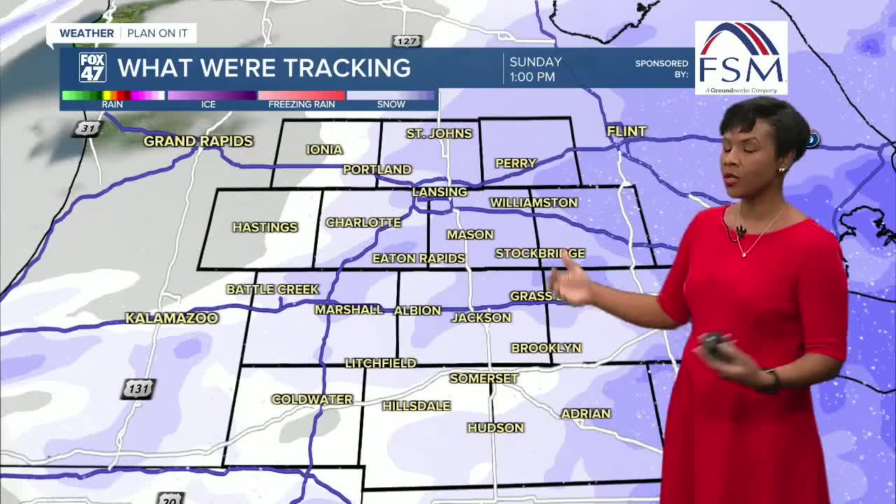
Light Snow Returns Late Saturday Night Into Sunday
Snow develops after midnight as the next disturbance slides through the Great Lakes. Most of the accumulating snow falls before midday Sunday, with the best chances for 1 inch or more along and west of US-131.
Roads may become slick on Sunday morning, so plan for extra time if you’ll be out early.
Several Quick-Hitting Snow Systems Next Week
A northwest-flow pattern settles in through next week, sending several fast-moving clipper systems across the region. Each clipper brings a chance for light snow, keeping travel conditions changeable.
Monday Night into Tuesday:
Another round of accumulating snow is likely, with a chance of 2 inches or more along and west of US-131 as deeper moisture moves in.
Wednesday into Thursday:
A separate system brings another chance for light snow, especially north of I-96. A brief rain/snow mix is possible farther south if slightly warmer air edges in.
Temperatures stay mainly below freezing all week, meaning any snow that falls will stick, and roads may remain slick at times.
Want more FOX 47 News? Here's how you download our Roku app
You can also see the latest news from across our mid-Michigan neighborhoods by liking us on Facebook or following us on X.
