
LANSING, Mich. — Clouds will gradually return to our skies tonight as a frontal boundary draped across the Deep South begins to pull northward toward the Ohio Valley. Dry conditions will hang on through the overnight period, with temperatures taking a dip toward the mid 20s. Winds will become calm, so no wind chills to worry about going into Tuesday morning.

The returning clouds unfortunately have bad timing, as a total lunar eclipse will be getting underway late tonight. The more noticeable partial eclipse phase starts just before 5:00 AM, with totality lasting nearly an hour starting at 6:04 AM. Totality ends at 7:02 AM, shortly before the Moon sets at 7:13 AM Tuesday. Mostly cloudy skies are expected by the time most of this occurs, but if you're up early on Tuesday, it may be worth a look toward the western sky if any clearing is left!
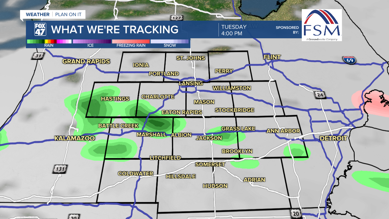
Tuesday will be dominated by generally cloudy skies. Patchy freezing drizzle will be possible during the morning, shifting to the potential for plain drizzle in the afternoon and evening. Highs will climb into the mid 40s, with a light east-southeast wind, kicking off a trend toward Spring-like temperatures that will carry us into the beginning of next week.
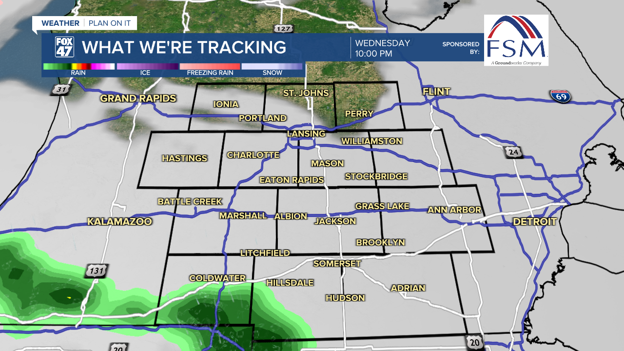
A mix of sun and clouds will return on Wednesday, but with a few showers possible south of I-94 later in the evening. A more widespread round of showers is likely on Thursday as a new disturbance sweeps across the Great Lakes. Highs both days will climb to around 50 degrees.
GET YOUR FOX 47 FORECAST HERE
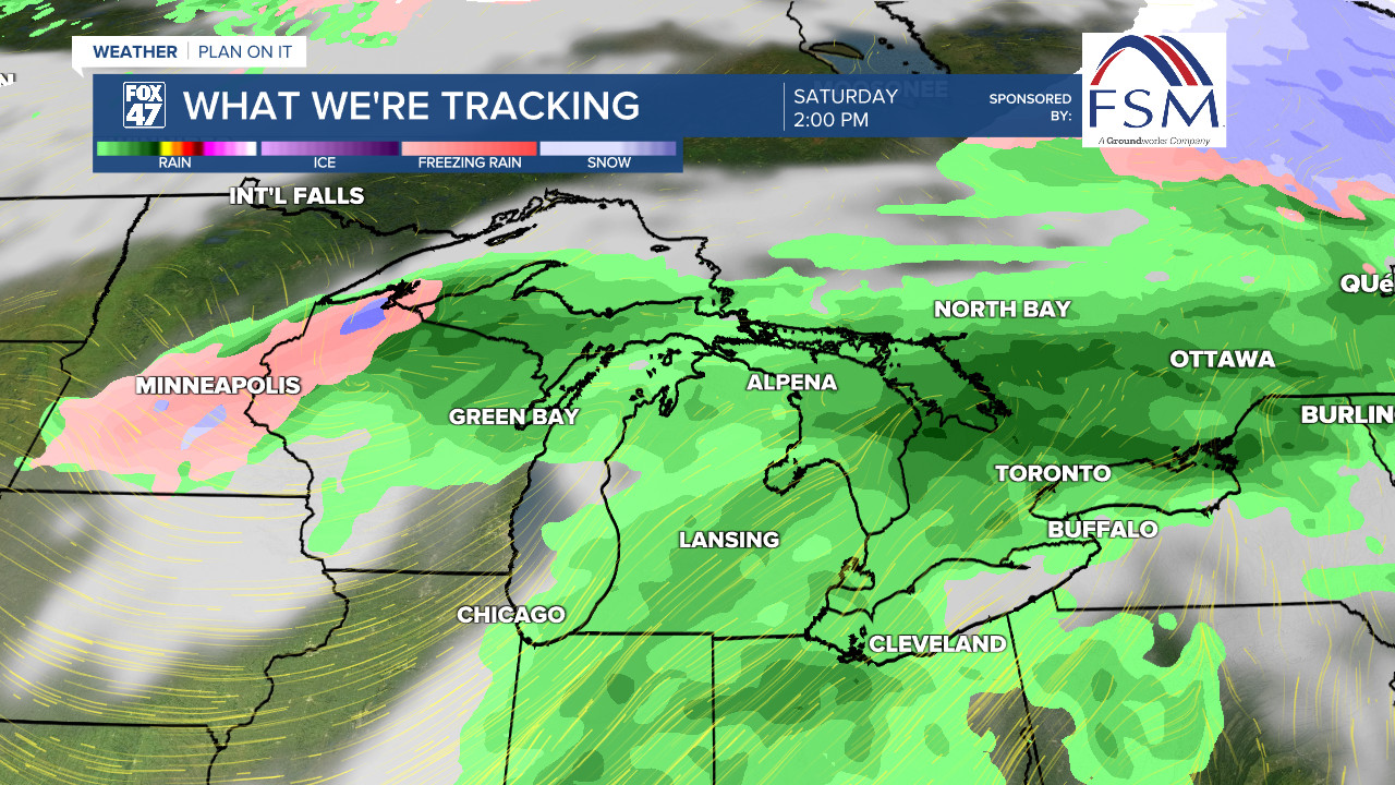
We trend even warmer on Friday and Saturday, climbing to the low and mid 60s. Scattered showers will be possible Saturday afternoon, and will likely be accompanied by a few thunderstorms. More showers and storms are likely on Saturday ahead of an approaching cold front, with breezy conditions likely, as well.
Sunday marks the beginning of Daylight Saving Time, so while we'll lose an hour, we'll get our sunsets our past 7:30 PM! Partly cloudy skies will take over behind the departing cold front, and while temperatures will take a dip, we'll remain pleasantly mild. Highs will only slip to the upper 50s for the second half of the weekend, and stay in the mid 50s going into Monday.

Want more FOX 47 News? Here's how you download our Roku app
You can also see the latest news from across our mid-Michigan neighborhoods by liking us on Facebook or following us on X.
