


LANSING, Mich. — High pressure remains in control over the Great Lakes, and is still expected to persist well into next week. For tonight, that will mean another round of clear skies, but a backdoor cold front will lead to a northeasterly shift in our winds. This will pull lows down to around 50 degrees by daybreak.

Northeasterly winds will pick up to around 10-15 mph on Saturday, keeping things a bit cooler than on Friday. Still, it will be a beautiful day with mostly sunny skies and high temperatures into the low 70s.
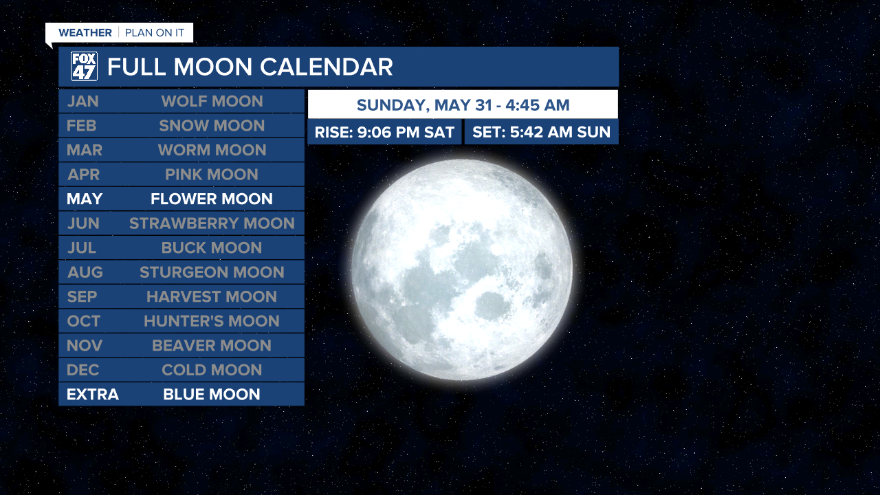
Be sure to take a look toward the sky on Saturday night, as the Blue Moon is set to make an appearance. No, it won't actually look blue, but it will mark the second full Moon of the month! The last time a Blue Moon occurred was in August of 2024, and it won't happen again until December 2028. With clear skies expected, viewing conditions will be perfect.
GET YOUR FOX 47 FORECAST HERE
From there, we'll put the forecast on repeat all the way through Thursday. Mostly sunny skies will close out the weekend on Sunday with highs in the mid 70s, and we'll gradually warm into the upper 70s and low 80s by the middle of the week. One thing to keep in mind over the next few days is that the dry weather and warm temperature will fuel an increasing fire danger. Use caution if you plan on burning anything outdoors.

Our next chance for a few thunderstorms comes into view next Friday as a new cold front approaches from the central United States and the Omega Block pattern finally begins to break down. Stay tuned for updates, but enjoy the gorgeous weather over the next several days.
Have a great weather picture or video to share? Send it our way and we may feature it on-air or online!

