LANSING, Mich. — High pressure continues to influence the forecast for Tuesday with mostly sunny skies across our neighborhoods and high temperatures possibly tapping into the lower 80's. Winds will stay weak out of the southwest.
We will be feeling like fall, however, once we reach Wednesday as an incoming cold front advances through Michigan also driving returning precipitation.

WATCH THE FULL FORECAST BELOW
During the day Wednesday, cloud cover will gradually increase throughout the day as the cold front approaches. We will also continue to see winds out of the southwest, but a bit stronger in the afternoon hours. We could see wind gusts up to 25 mph and possibly 30 mph in isolated areas.
Showers could begin as early as 5 PM in our neighborhoods continuing into the overnight hours and possibly lasting through Thursday morning. We could still see some changes to the timing of these showers and will continue to watch closely for when you might need that umbrella.
Impacts as this cold front advances through includes showers producing heavier rainfall rates and a few rumbles of thunder possible. We are not expecting any major flooding impacts with the heavy rainfall rates or any other severe impacts at the moment. Isolated areas could see winds gust up to 30 mph as well.
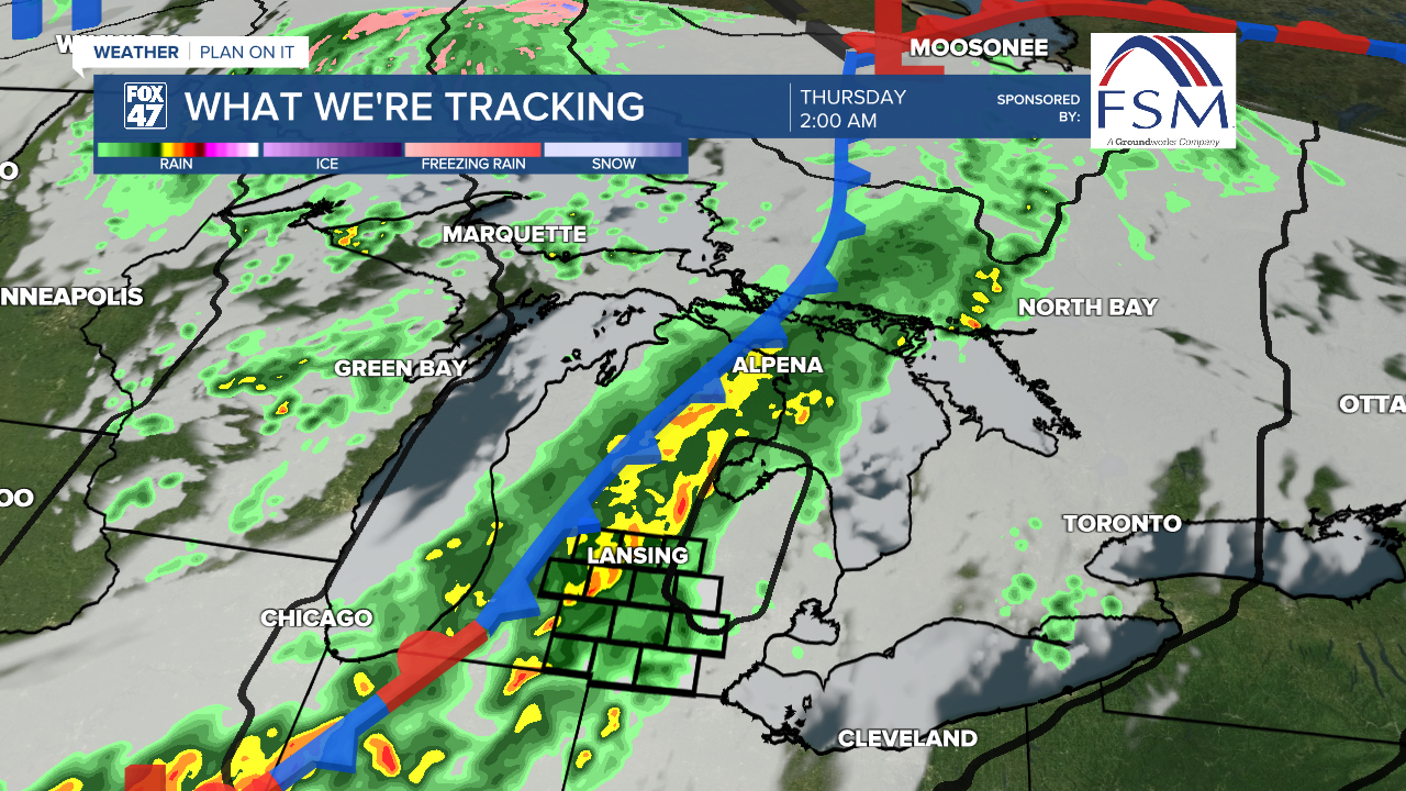
Any showers that could linger into Thursday morning will stay tame as we dry up into the afternoon hours. The umbrella might be needed when heading out the door Thursday morning.
Behind the cold front, high temperatures will drop into the mid 60's. This is well below average and over a 10 degree drop from Wednesday's forecast high temperatures. Overnight lows will dip back into the mid 40's, allowing for some cooler nights. We could see some renewed showers Friday more focused in our northern neighborhoods followed by a dry weekend.

Want more FOX 47 News? Here's how you download our Roku app
You can also see the latest news from across our mid-Michigan neighborhoods by liking us on Facebook or following us on X.
