


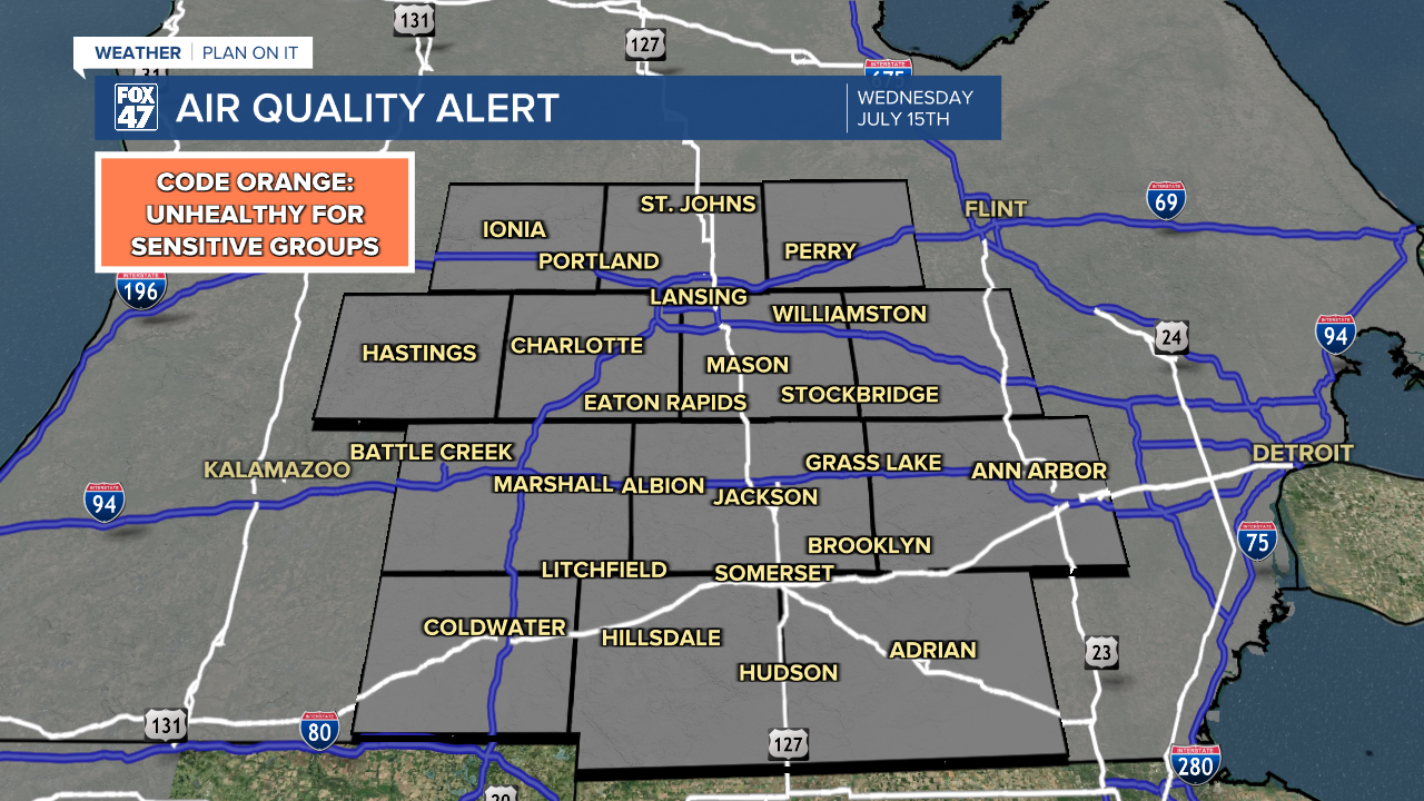
AIR QUALITY ALERT in effect statewide for Wednesday, July 15. Smoke from wildfires will make for unhealthy air quality for people with respiratory ailments or heat conditions.
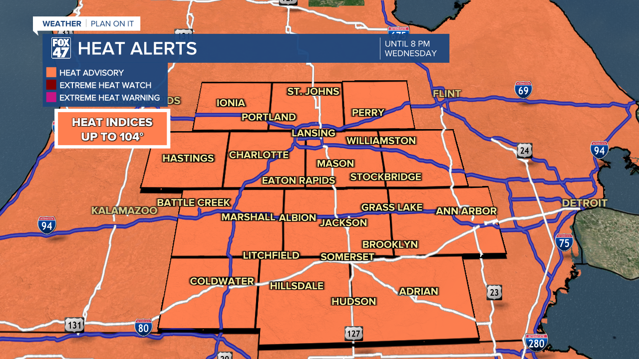
HEAT ADVISORY remains in effect until 8:00 PM Wednesday. Heat indices up to 104° are expected.
A sprawling ridge of high pressure remains in place across much of the continental United States, including here in the Great Lakes. As a result, skies will remain generally clear again overnight with lows falling to the low 70s. Light westerly winds at 5-10 mph will keep things muggy as well.
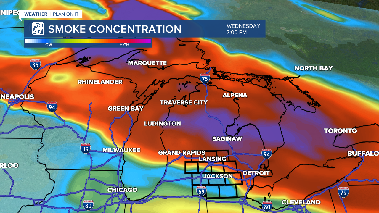
Heat and humidity will remain high on Wednesday, but we'll now have the added headache of deteriorating air quality to deal with. An outbreak of wildfires in southern Canada and northern Minnesota have already sent massive plumes of smoke eastward across Lake Superior all the way to New England, and a northwesterly turn in the winds will begin to pull that smoke southward across Michigan on Wednesday.
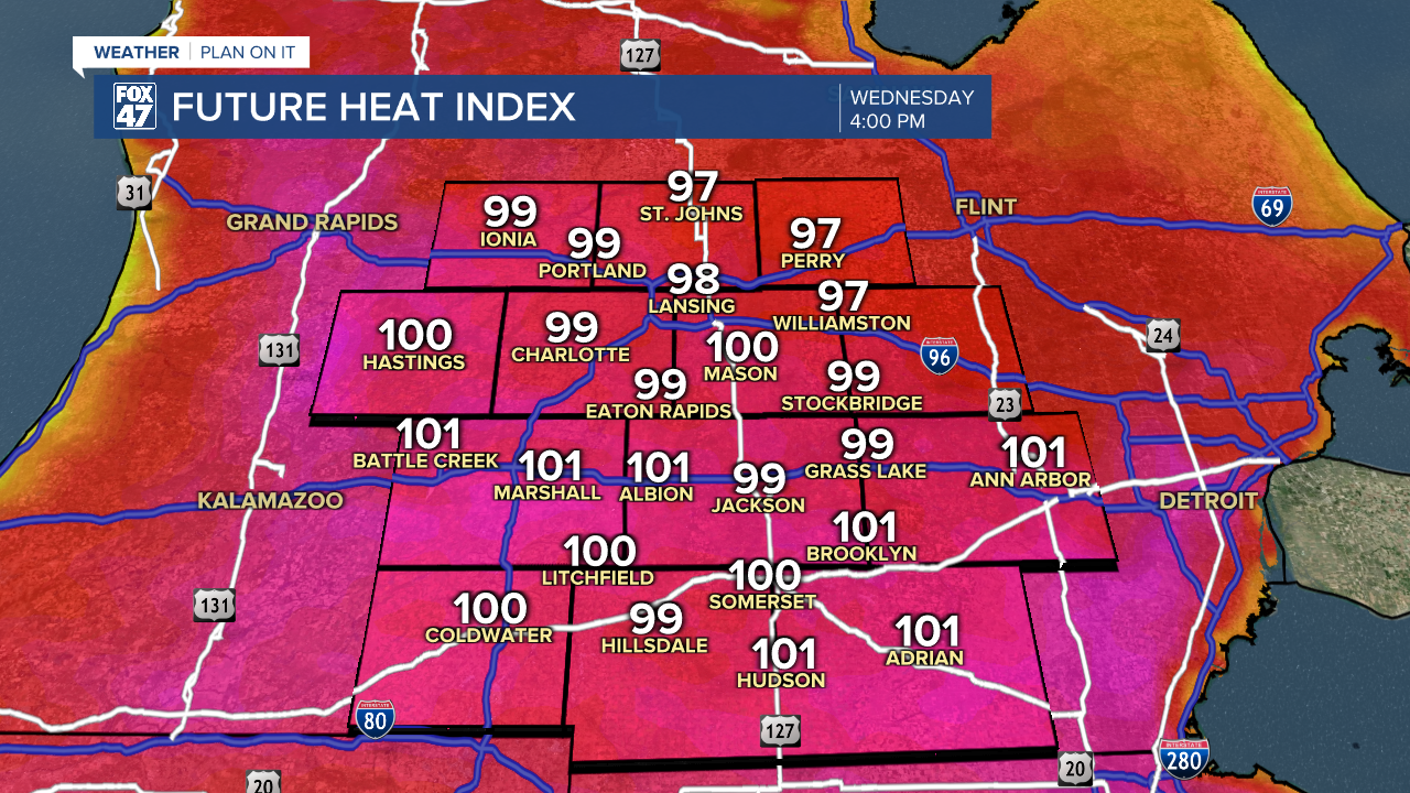
Mostly sunny skies through midday will become increasingly smoky during the afternoon and evening, will the first effects becoming noticeable shortly after 3:00 PM. The smoke is expected to mix down to the surface, so expect to notice an increasingly strong smell of smoke, and worsening air quality as a result. Highs will top out in the mid 90s, with high humidity pushing heat indices above 100 degrees once again.
Air quality will be most hazardous to people with respiratory ailments or heart conditions, but combined with the heat, it will be a day for everyone to limit time outdoors as much as possible. One positive note is that the smoke may lead to a vivid sunset, as long as is it not so thick that it blocks the sun entirely.
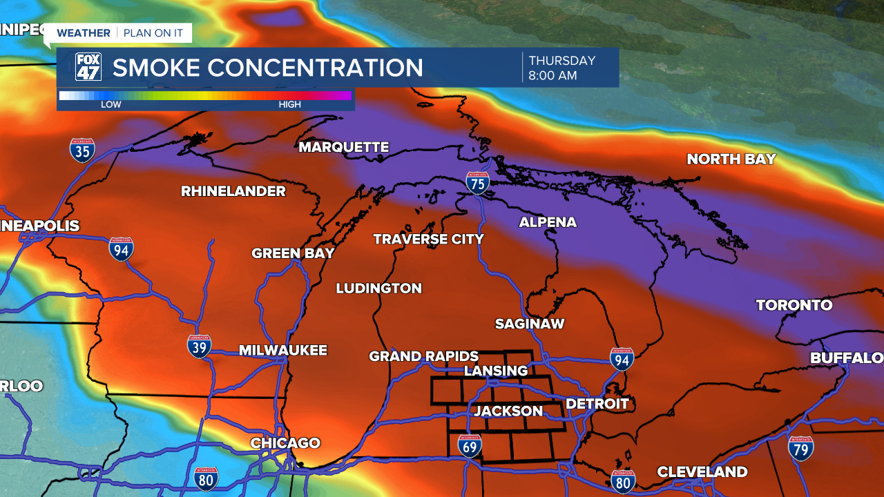
Smoky conditions are expected to linger through Thursday as northwesterly winds remain in place. Highs will remain in the low 90s, with no showers or thunderstorms in sight just yet.
That starts to change on Friday when a slow-moving warm front begins to track into the region. The resulting southerly shift in winds should begin to push much of the smoke away, while also increasing the chance for pop-up showers and thunderstorms. Highs will hover around 90 degrees, but it will mark the beginning of a more noticeable cooling trend that will take us into the weekend.

Saturday is set for a mix of sun and clouds, with the continued chance for hit-or-miss showers and storms in the afternoon. Nothing you should need to cancel any plans over, but be prepared to keep and eye on the sky. Highs in the upper 80s will dip to the mid 80s on Sunday with partly cloudy skies for the second half of the weekend.
Have a great weather picture or video to share? Send it our way and we may feature it on-air or online!

