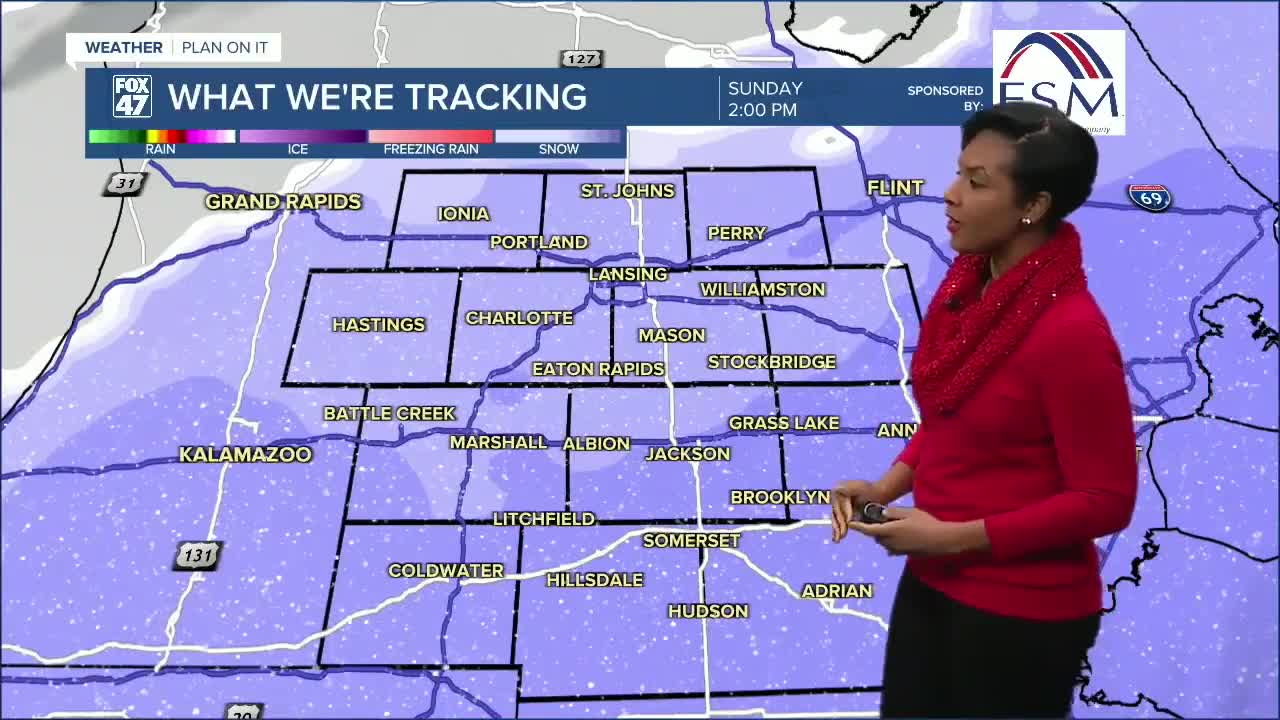

LANSING, Mich. — Snow begins spreading in overnight, first impacting areas along and south of I-94, including Battle Creek, Jackson, and nearby communities.
Sunday is the main impact day.
Snow continues through the morning, then intensifies late morning into the afternoon, roughly 11 AM to 7 PM. This is when the steadiest snow falls.
The focus area for higher totals is along the I-94 corridor:
Around 2-4 inches for the Lansing area
- 3-5 inches possible toward Jackson
- Areas further East, towards Detroit 5+"
Snow amounts drop off quickly as you head north.
The snow tapers off Sunday evening, with conditions gradually improving later Sunday night.
Main impact:
Slippery roads and slower travel, especially during the afternoon and early evening on Sunday.
Looking ahead
Additional chances for light snow return Monday through Wednesday, but no major storms are expected during that stretch.
Want more FOX 47 News? Here's how you download our Roku app
You can also see the latest news from across our mid-Michigan neighborhoods by liking us on Facebook or following us on X.
