
Quiet and Cool Through Friday
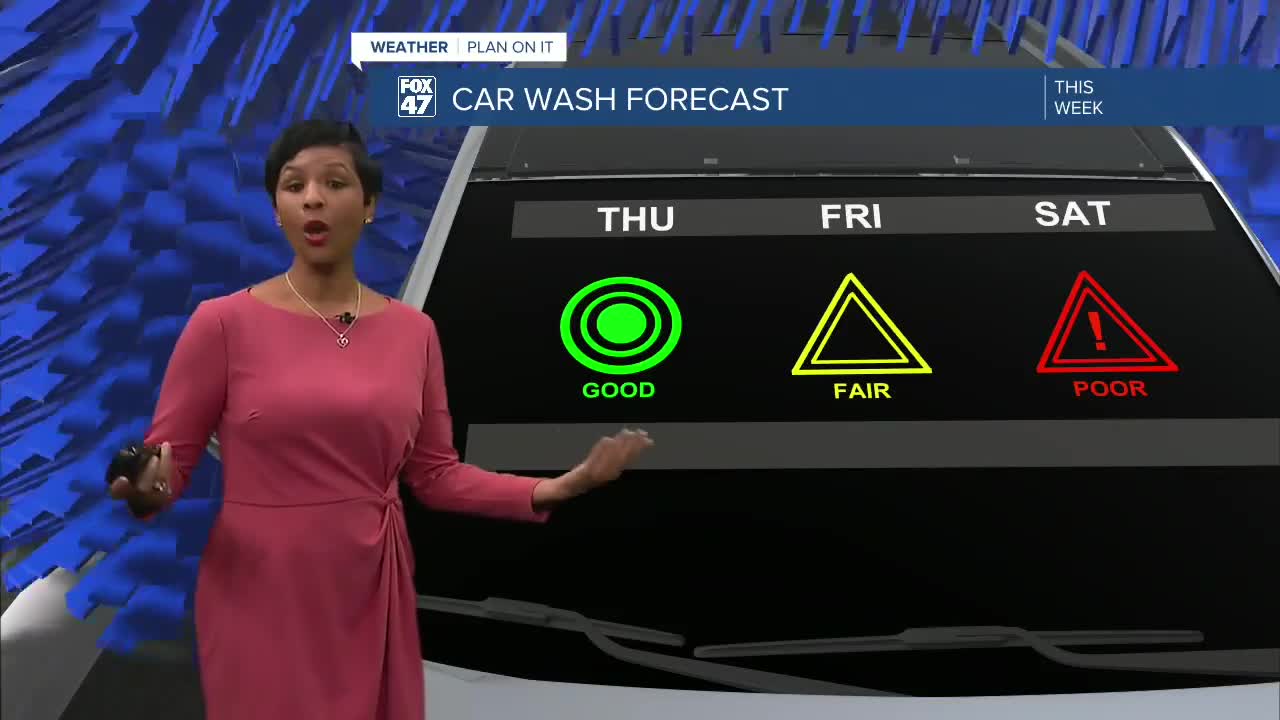
Thursday brings a calm and comfortable forecast with mostly sunny skies and afternoon highs reaching the mid-60s. Overnight clouds will continue to decrease, leading to a bright and cool Thursday morning with temperatures starting in the low 40s.
Friday stays relatively quiet during the daytime hours, although clouds will increase throughout the day. Temperatures will remain below average, topping out in the upper 60s.
Weekend Rain and Thunderstorm Chances
The weather pattern becomes more active Friday night as the first round of showers begins moving into the region. Rain chances increase significantly overnight and into Saturday morning as a weather disturbance tracks across Mid-Michigan.
Saturday is expected to be the wettest day of the weekend, with widespread showers and possible thunderstorms throughout the day. Residents heading outdoors should keep umbrellas and rain gear nearby.
Another disturbance arrives Sunday, bringing additional chances for showers and thunderstorms before conditions begin drying out Sunday night.
Memorial Day Looking Better
Despite a few stray showers possible on Memorial Day, much of Monday is expected to feature partly sunny skies and warmer temperatures nearing 80 degrees. Conditions continue improving into Tuesday and Wednesday with sunshine and highs climbing into the lower 80s.
After several cooler days, the warm-up will be a welcome return for many across the Lansing and Jackson areas.
7-Day Forecast Snapshot
- Thursday: Mostly sunny, high 64°
- Friday: Increasing clouds, late showers possible, high 68°
- Saturday: Showers and thunderstorms likely, high 72°
- Sunday: Additional storm chances, high 75°
- Memorial Day Monday: Mostly sunny with isolated showers, high 79°
- Tuesday: Partly sunny and warm, high 82°
- Wednesday: Partly sunny, slight shower chance, high 82°
Cooler Than Average—for Now
Wednesday’s high temperature only reached 61 degrees, well below the seasonal average of 71 degrees for late May. For perspective, the record high for the date was 93 degrees set back in 1977.
Thankfully for warm-weather lovers, the upcoming pattern shift means summerlike temperatures are on the horizon by early next week.
Have a great weather picture or video to share? Send it our way and we may feature it on-air or online!

