
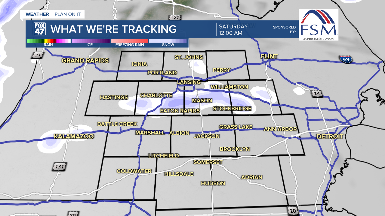
Clouds will go on the increase this evening as a ripple of atmospheric energy sinks south across the state. A few snow showers may accompany these clouds before midnight, and could make for another round of slick roads for evening travel. Mostly cloudy skies will then linger overnight, with lows eventually dipping toward the low single-digits. Winds chills as low as -10° will be possible thanks to light northwest winds at 5-10 mph.

Partly cloudy skies take over again on Saturday as high pressure settles in over the Great Lakes. With a northerly wind still in place, highs will remain bitterly cold again in the middle to upper teens. Similar weather lingers on Sunday, but with high pressure shifting east of the region, winds will pivot toward the southwest. This will help to elevate highs into the low 20s for the first time in ten days!
GET YOUR FOX 47 FORECAST HERE
Groundhog Day brings our next round of snow showers, regardless of what the furry forecasters have to say. A new clipper system tracking through the Great Lakes will bring snow showers throughout the day, but we'll hang on to highs in the mid 20s. Early data points to around 1-2" of new snowfall for our neighborhoods, so be ready to break the shovels back out.

Highs will remain in the 20s for the rest of the work week, even inching closer to the 30-degree mark by Friday. Tuesday and Thursday will remain quiet, while Wednesday brings a small chance for snow showers. Friday is emerging as a day to watch, as forecasts are pointing to the potential for a more significant snow event. We'll be keeping a close eye on the forecast over the next week, so make sure to check back for updates!
Want more FOX 47 News? Here's how you download our Roku app
You can also see the latest news from across our mid-Michigan neighborhoods by liking us on Facebook or following us on X.
