LANSING, Mich. — Temperatures warm today across Mid-Michigan into the upper 60's and possibly reaching the lower 70's. We will see an abundance of cloud cover today with our best shot for a peak of sunshine during the early to mid afternoon hours.
Winds will continue to strengthen today with gusts up to 30 mph out of the east. It will stay dry, however, during the daytime hours with shower chances arriving out of the south as early as midnight tonight.

WATCH THE FULL FORECAST BELOW
An area of low pressure tracks northeast right through the Metro Detroit area Saturday. Ahead of this low, heavy rainfall rates will fall more east of the US-127 corridor. Areas like Jackson and Hillsdale could still see some period of heavy rain overnight into the first half of the day Saturday with accumulations around half an inch. Northern areas of Eaton, Clinton, and Ingham counties could see around a quarter to half an inch. This is by no means a wash out and flood concerns remain low.

Showers will become widely scattered by the early afternoon hours and should end by the mid afternoon hours. Cloud cover will hang around through Sunday as a shortwave brings chances for weak thunderstorms to our southern neighborhoods of Jackson and Hillsdale Sunday. No major impacts are expected.
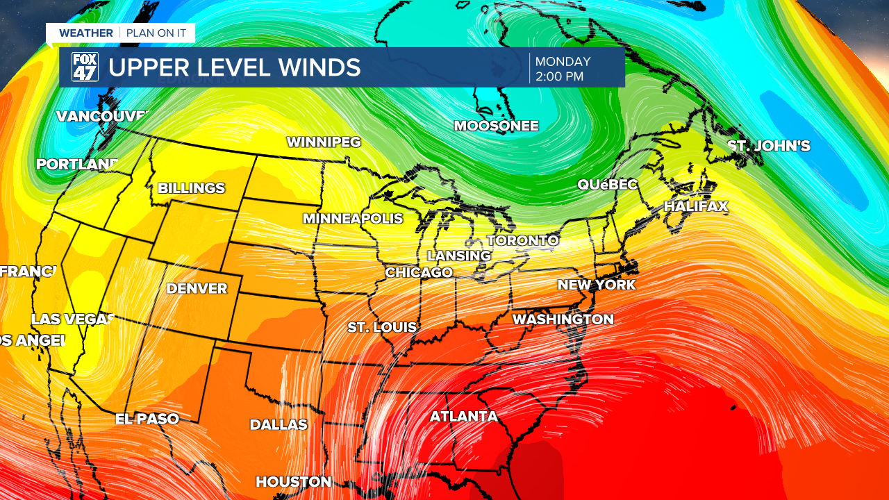
As the upper shortwave exits, a ridging pattern builds aloft with a zonal upper level wind pattern present by Monday for Memorial Day. This west to east wind pattern could allow for a few upper level disturbances to pop off an isolated shower chance for the holiday and into Tuesday. Impacts remain low and as we continue to track drier air early next week, we could miss out and see an abundance of sunshine still good for any outdoor plans. No major washout conditions are expected even if we see an isolated shower develop.

Temperatures will feel more like summer by Memorial Day tapping back into the lower 80's. We will warm into the mid 80's Tuesday and Wednesday with a bit of a cool down possible for Thursday next week with partly cloudy skies. Overnight lows next week could turn uncomfortable in the upper 50's and lower 60's.

Have a great weather picture or video to share? Send it our way and we may feature it on-air or online!

