
LANSING, Mich. — A frost advisory is in effect for our neighborhoods until Monday at 8:00 a.m.
Overnight: Temperatures will reach an overnight low of about 38°F, with partly cloudy skies and winds out of the NW at 11mph but gusting in the 20s at times.
Monday: Monday remains dry but cool, with partly sunny skies and high temps reaching about 58°F.
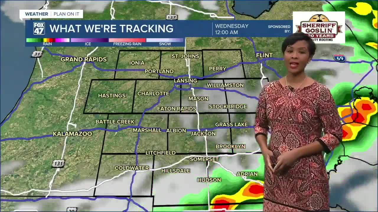
Tuesday-Wednesday: A low-pressure system tracks through, bringing showers Tuesday that will ramp up Tuesday night through Wednesday morning. Possible isolated thunderstorms accompany this system. Temperatures reach highs of about 62°F and 55°F, respectively. After lingering A.M. showers pass on Wednesday, dry conditions prevail, and partly sunny skies dominate.
Thursday: Dry conditions and partly-mostly sunny skies return, along with an uptick in temperatures returning to the low 60s.
Friday-Sunday: A warming trend continues to bring milder temperatures, with Friday and Saturday temps reaching the 70s and 80s by Sunday. Although plenty of sunshine will be present at times, there are also chances for showers and thunderstorms as we track another system to move through for the weekend.
Have a great weather picture or video to share? Send it our way and we may feature it on-air or online!

