
LANSING, Mich. — Sunday: Light snow showers are present until early afternoon, then dry conditions prevail. Roads may become slick on Sunday morning, so plan for extra time if you’ll be out early. Temperatures should reach a high of 27°, but lows are expected to bottom out at a chilly 4°F.
Several Quick-Hitting Snow Systems Next Week
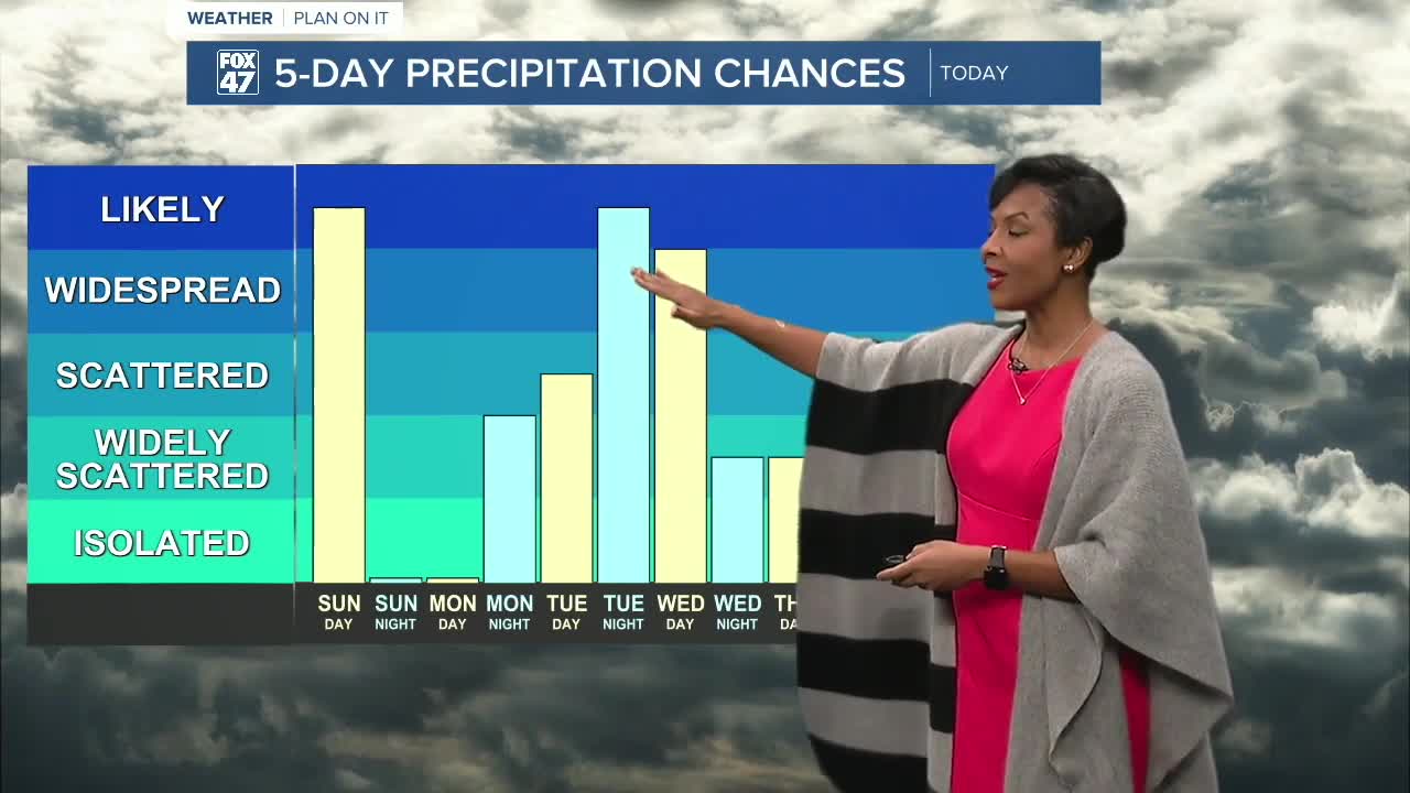
A northwest-flow pattern settles in through next week, sending several fast-moving clipper systems across the region. Each clipper brings a chance for light snow, keeping travel conditions changeable.
Monday Night into Tuesday:
Another round of accumulating snow is likely, with a chance of 2 inches or more along and west of US-131 as deeper moisture moves in.
Wednesday into Thursday:
A separate system brings another chance for light snow, especially north of I-96. A brief rain/snow mix is possible farther south if slightly warmer air edges in.
Temperatures stay mainly below freezing all week, meaning any snow that falls will stick, and roads may remain slick at times.
Thursday-Saturday: Additional chances for scattered snow showers each day. Cold conditions continue, with temperatures getting back into the mid-low 20s.
Want more FOX 47 News? Here's how you download our Roku app
You can also see the latest news from across our mid-Michigan neighborhoods by liking us on Facebook or following us on X.
