
LANSING, Mich. — Lingering flurries will quickly taper off this evening, with partly to mostly cloudy skies taking over for the rest of the night. The partial clearing and a slightly colder air mass settling in will allow temperatures to tumble down into the single-digits by daybreak. Winds will be light out of the north at 3-6 mph.

A mix of sun and clouds will carry us through Wednesday as a pocket of high pressure settles over the Great Lakes. While the overwhelming majority of the day will be dry, a stray flurry cannot be completely ruled out. Wind will remain light out of the north at 4-8 mph, with highs set to climb into the low 20s.
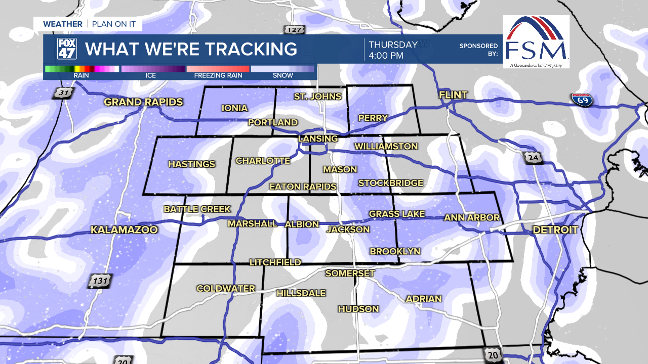
Thursday brings our next round of snow showers, but they won't arrive until the afternoon. The morning commute is looking smooth under cloudy skies, with the first flakes arriving in some neighborhoods around 1:00 PM. Snow showers will persist through Thursday night into Friday, when the core of the clipper system passes over the state.
GET YOUR FOX 47 FORECAST HERE
Snow showers will be heaviest through midday Friday, then taper off in the afternoon. Highs Thursday will top the mid 20s, then head for the low 30s on Friday, possibly climbing above freezing for the first time in nearly three weeks.

Temperatures will take another dip this weekend as a new wave of Arctic air arrives. Highs will return to the middle teens on Saturday, starting thee weekend with a mix of sun and clouds. Sunday brings a new chance for snow showers, with highs returning to around 20 degrees.
Want more FOX 47 News? Here's how you download our Roku app
You can also see the latest news from across our mid-Michigan neighborhoods by liking us on Facebook or following us on X.
